Afsluitdijk: what changed when salt water became fresh?
In 1932, the final gap was closed. After that, the Zuiderzee did not merely disappear from the map. The water itself changed character.
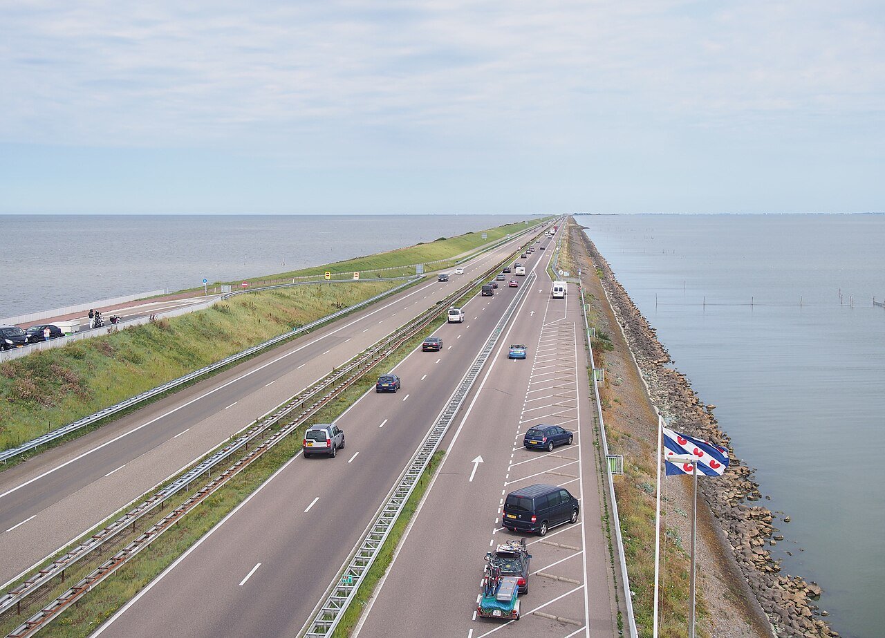
Stand on the Afsluitdijk and you are looking at two worlds. To the north lies the Wadden Sea: salt water, with ebb and flow. To the south is the IJsselmeer: fresh water, without tides, a reservoir that the Netherlands uses as a supply. This divide is not an age-old landscape. On 28 May 1932, the final closing gap, the Vlieter, was sealed. From then on, the Zuiderzee was called the IJsselmeer.
Rijkswaterstaat manages the dyke as a flood defence between North Holland and Friesland. The dyke is 32 kilometres long. Two lock complexes, the Stevin locks near Den Oever and the Lorentz locks near Kornwerderzand, discharge excess water into the Wadden Sea at low tide. That water comes, among other sources, from the IJssel, a branch of the Rhine. Without this discharge, the lake level would become too high. During dry periods, water from the reserve can be sent to surrounding areas for agriculture, ecology and drinking water.
The transition to fresh water happened quickly. Once the sea was closed off, the free inflow of seawater stopped. Only river water and polder water fed the basin. Research by the Wadden Academy and Utrecht University, published in De Levende Natuur, describes the leap: from a tidal, brackish area covering thousands of square kilometres to a freshwater lake. Salinity fell from saline through brackish to fresh. In that analysis, the IJsselmeer is classified as a freshwater area from 1937 onwards (0 to 0.5 per mille).
For fish and shellfish, this was a rupture. Migratory fish that need to move between salt and fresh water encountered a wall. Shellfish, crabs and shrimps from the old brackish system largely disappeared within a few years. The Netherlands gained safety and a freshwater reserve. It lost the gradual transition from sea to river. That is why there are fish passages and why a fish migration river is being constructed at Kornwerderzand: an artificial transition where fresh and salt water are once again allowed to mix.
What you see as a straight line across the water is a choice made in 1932 that still has consequences today. Salt and movement on one side. Fresh water and reserves on the other. The dyke keeps storms out and keeps two ecosystems apart.
A fresh perspective
Of the 42 species studied from the old brackish system, seven remained.
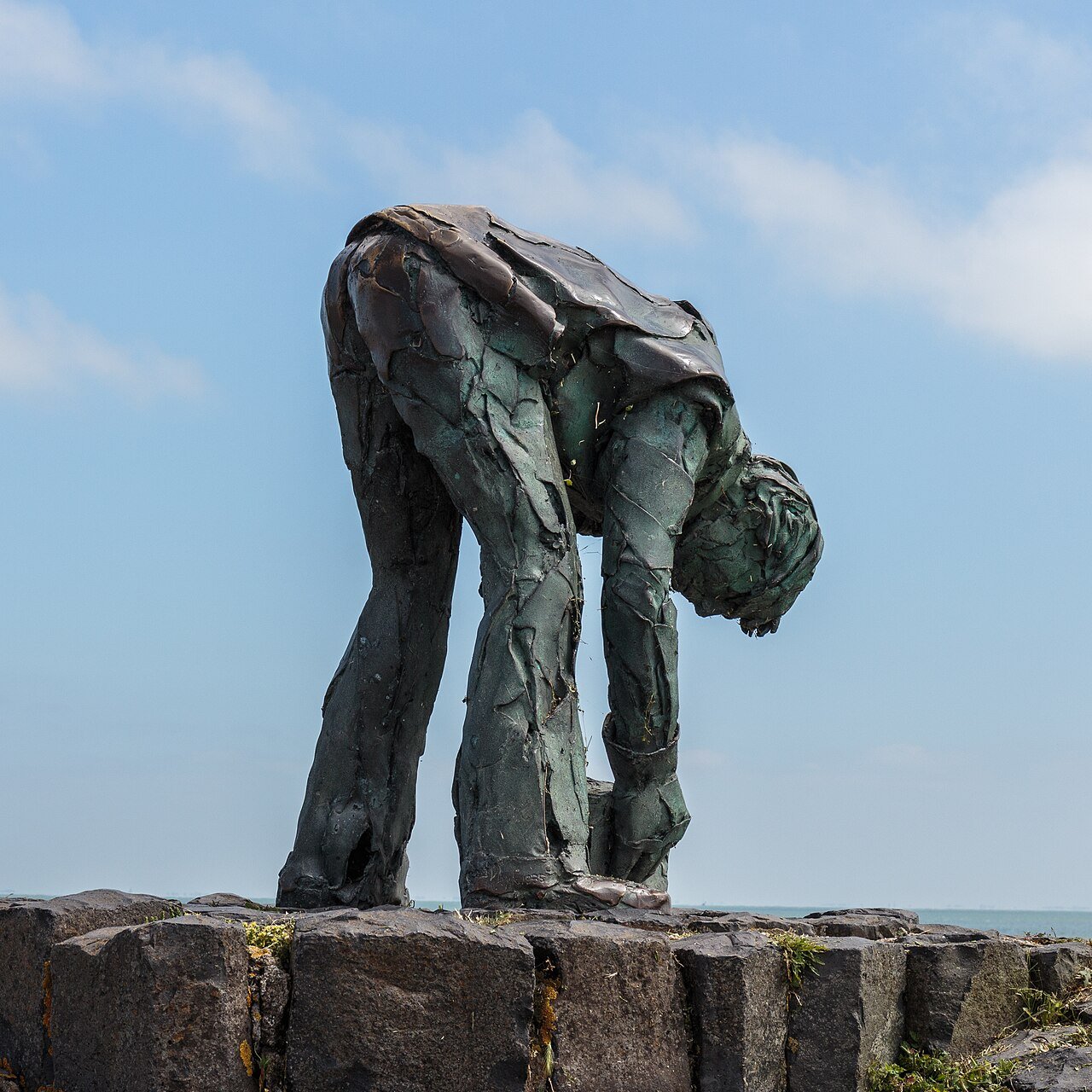
From the Vlieter Monument, look in both directions: north towards the tidal Wadden Sea, south towards the calmer IJsselmeer. That is the divide created in 1932.