Ditches: why the water level can be different on the other side
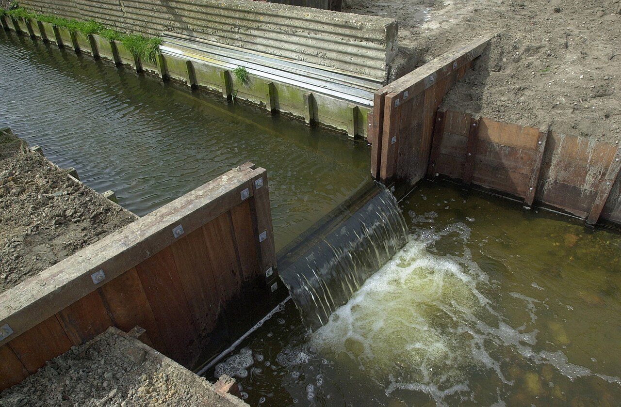
Two ditches, one road between them, yet the water on the left is higher than on the right. That is not a leak. It is water-level management.
The Netherlands is divided into compartments. Each compartment is called a water-level area: a piece of land in which the surface water is deliberately kept at the same level. Brabantse Delta Water Authority has more than 400 such areas in Central and West Brabant, grouped into six water-level decision areas. Between two compartments there is a weir, a lock or a pumping station. That threshold is why you can see two different waterlines from a small bridge.
The water authority sets the level in a formal water-level decision. It is not a matter of intuition; it is policy. Agriculture often needs a higher level in summer, so that grass grows and water is kept in reserve, and a lower level in winter, so that there is room for rain and the land remains accessible to machinery. In towns and cities, a fixed level is more common because wooden foundations must not dry out and cellars must not become wet. Nature areas, by contrast, may require a high level. There is no single ideal level for everyone.
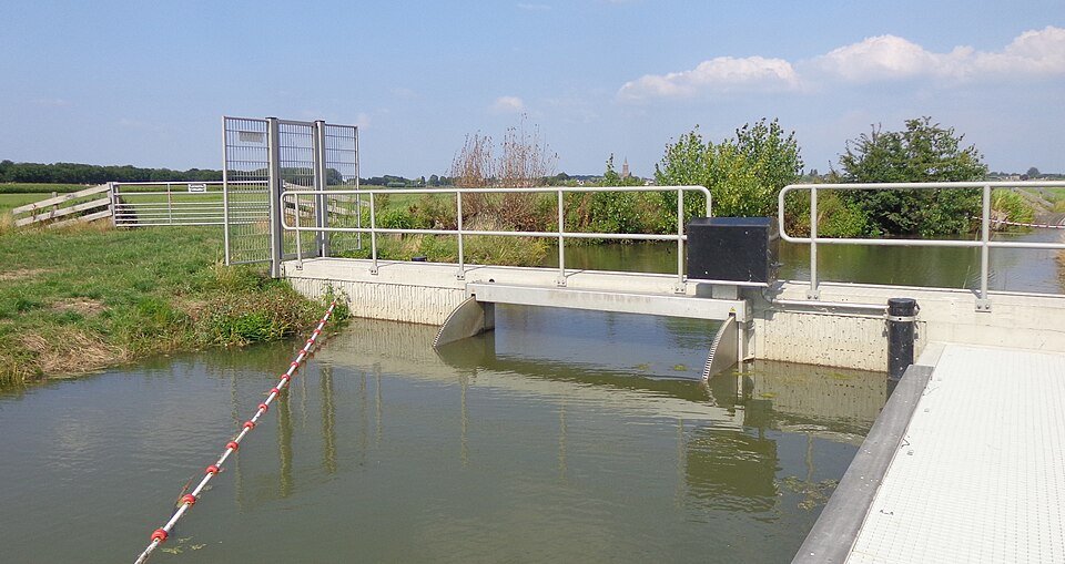
Water naturally flows to the lowest point. Without weirs, the entire polder would follow the level of the lock leading to the main drainage system. Pumping stations lift water into a higher network of canals, or pump it out into a river. AGV explains the difference between the surface-water level (ditch, canal) and the groundwater level (in the soil). In polders, the two are connected: lower the ditch level and the groundwater often falls as well. That is why a difference of just five centimetres already matters.
A different water-level area may therefore begin on the other side of the road. The embankment or culvert forms the boundary. During drought, the water authority retains water; in wet weeks, the weir is lowered. What may look arbitrary to you is a choice between crops, foundations, nature and water-storage capacity.
Next time you are out, look for a water-level gauge beside the water. The numbers reveal a difference that is easy to miss by eye. Two neighbouring ditches can show just how finely the Netherlands distributes its water.
A fresh perspective
In agricultural areas, Brabantse Delta often uses a higher summer level (roughly 15 May–15 August) and a lower winter level (1 October–1 April).
Look for a weir or water-level gauge near a small lock: the height difference between upstream and downstream is evidence of two water levels.