The IJssel at Deventer: why a river needs room
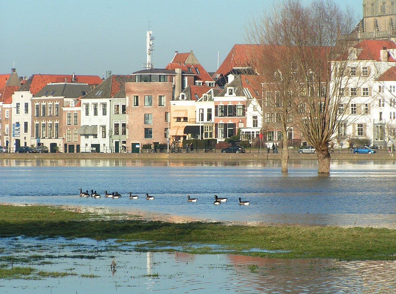
The IJssel winds right past the city. When the water rises, it has to go somewhere. That is why channels run through the floodplains.
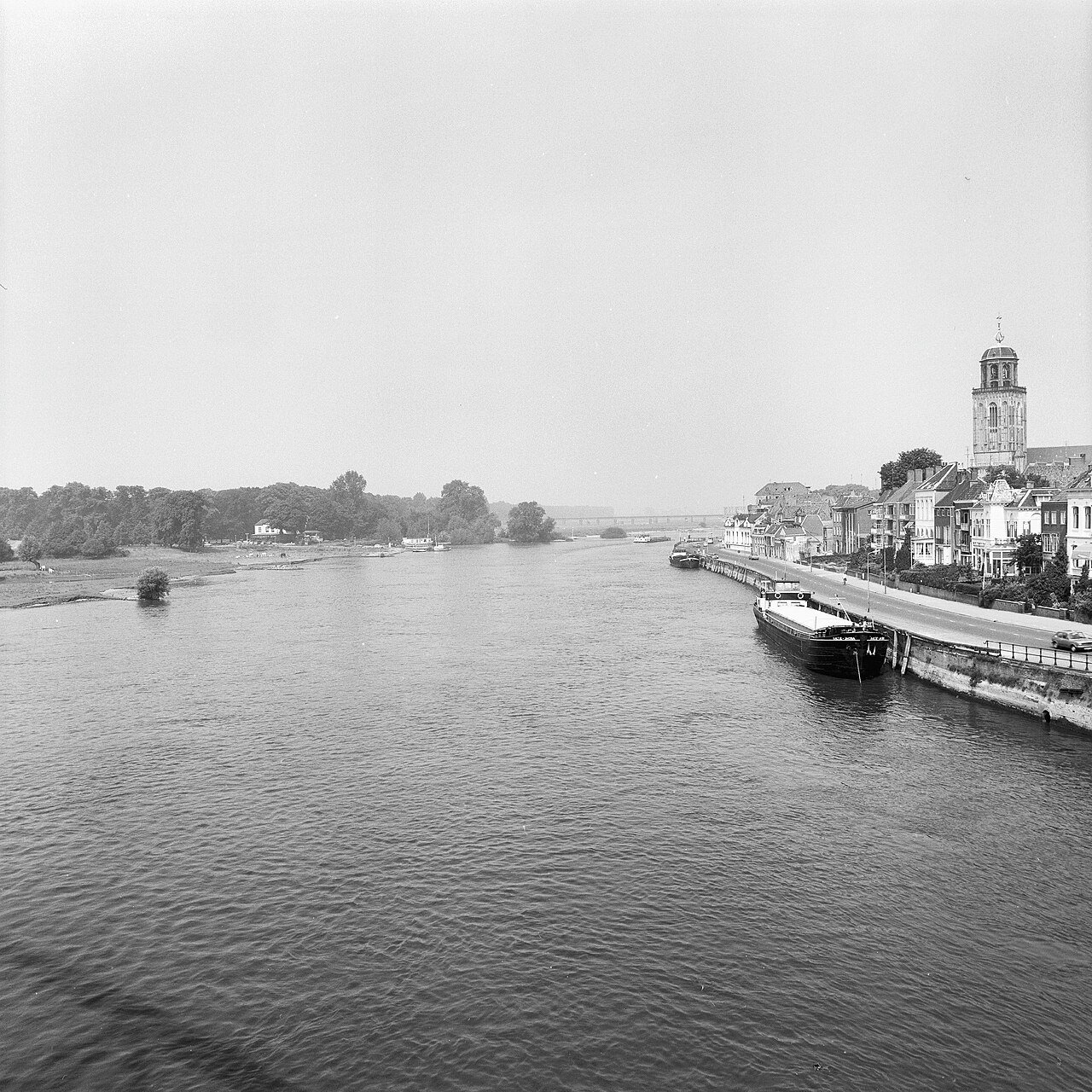
From the Wilhelmina Bridge, you can see how narrow the IJssel appears here between quays, floodplain and dyke. During the twentieth century, rivers in the Netherlands were increasingly fixed in place: groynes, high dykes, less floodplain. During prolonged rain or meltwater from the Rhine, levels rise quickly. In 1993 and 1995, the river region came close to the brink. Rijkswaterstaat describes the evacuations and the change of course that followed: not only higher dykes, but more room.
The Room for the River programme (2006–2019) dug side channels, lowered floodplains and relocated dykes. At Deventer, channels were excavated so that the IJssel can flow more freely during high water. Nijmegen and the Reevediep near Kampen were also part of the programme. Removing soil allows the river to flow across a wider bed. Extra channels carry part of the discharge.
The result is not a second city moat, but a floodplain landscape with paths and nature. Giving a river room requires maintenance. Side channels silt up; without management, both discharge capacity and ecology deteriorate. Farther along the IJssel, land has been reserved for even more space if climate change brings higher peaks. Room for the River 2.0 began in 2025. So the river does not ask for room only once; it keeps taking it.
What you see as a walker as pools and reeds is a second riverbed at rest. At low water it seems superfluous. At high water, it is the reason the city quay is not the only answer.
A fresh perspective
At Deventer, Room for the River dug channels in the floodplains, giving the IJssel an extra route during high water.
Walk into De Worp or the Ossenwaard and look for the channel running parallel to the main river: that is the space the IJssel uses during peak discharge.