What a rain radar does and does not tell you
The coloured image on your phone is not a bucket sitting on the grass. It is an echo high in the atmosphere, converted into an estimate of rain.
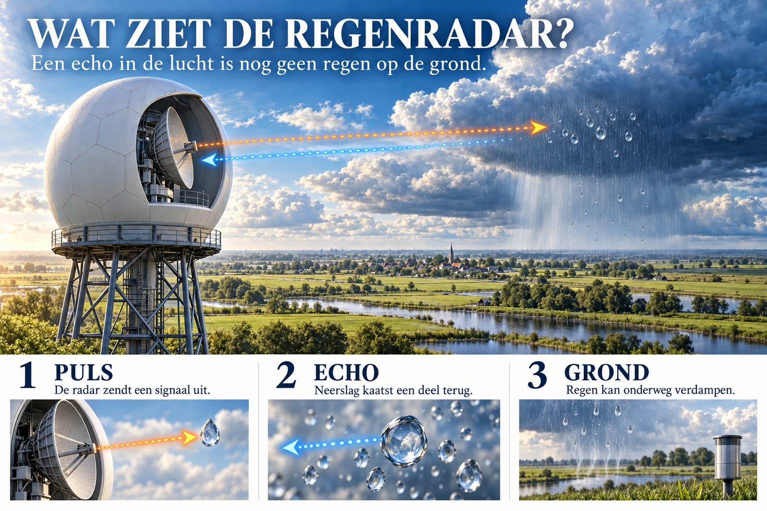
KNMI operates precipitation radars, including at Herwijnen and Den Helder. The antenna transmits pulses. Raindrops, snowflakes and hailstones reflect part of the signal back. The travel time indicates the distance, while the strength of the echo provides an estimate of intensity. Apps such as Buienradar use those data. What you see, then, is not a photograph of wet paving stones, but a snapshot of reflections in the atmosphere.
That distinction matters. Radar tends to scan at considerable altitude. It often misses drizzle from clouds with a low base, sometimes only a few hundred metres above the ground. It does not see fog: those droplets are too small and too low. Conversely, an echo can show rain that evaporates before reaching the ground; you stay dry while the map turns green. At the edges of the radar's range, the image becomes distorted. Trees, buildings or hills block part of the signal. Not every echo is a shower: clutter from obstacles, insects or birds can also appear.
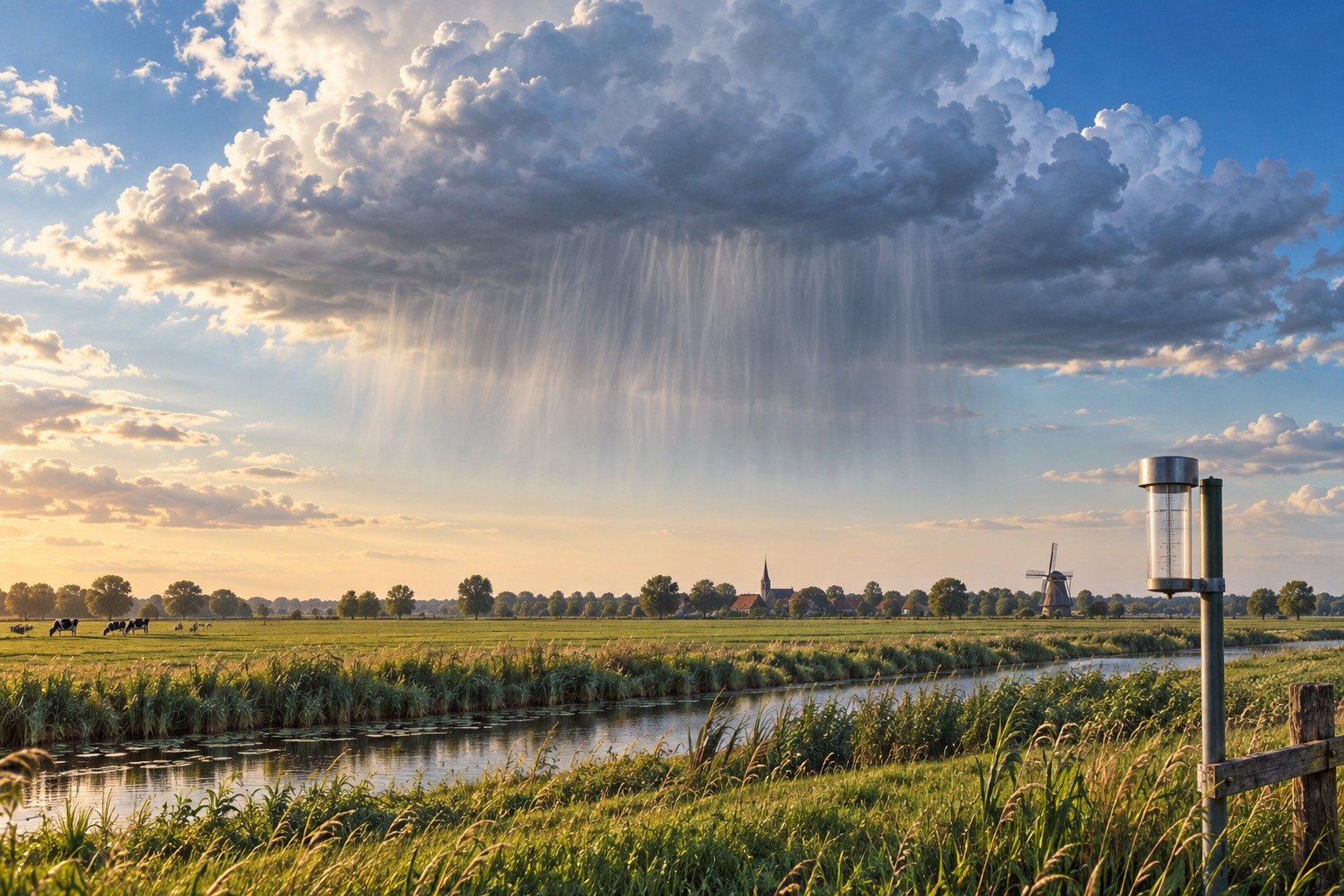
Rain gauges at KNMI stations do measure what reaches the ground, but they are too sparsely distributed to catch every shower. That is why the institute combines radar with gauges. Even then, a shower remains unpredictable: two kilometres away it may be dry. The map is the best overview we have, not a guarantee of what will happen in your garden. A forecast loop that moves the shower forward is another step beyond that: it is interpretation, not an additional measurement.
So use the radar as a compass, not a verdict. Bright yellow means there is a strong echo there now. Whether that echo reaches the ground as a puddle depends on the layer of air beneath it. Watch how the patch moves over half an hour. If it lingers, the likelihood increases. If it slides past your postcode, you can leave your coat where it is.
The strength of the image is its coverage. Its weakness is altitude. Remember both and you will be caught by surprise less often.
A fresh perspective
Fog and much of the drizzle from low clouds often remain invisible on precipitation radar.
Compare the radar image with what you see outside. If the map shows precipitation while it remains dry, evaporation on the way down may be one explanation; the map is no guarantee of rain at your location.