Utrechtse Heuvelrug: a push moraine you can read on foot
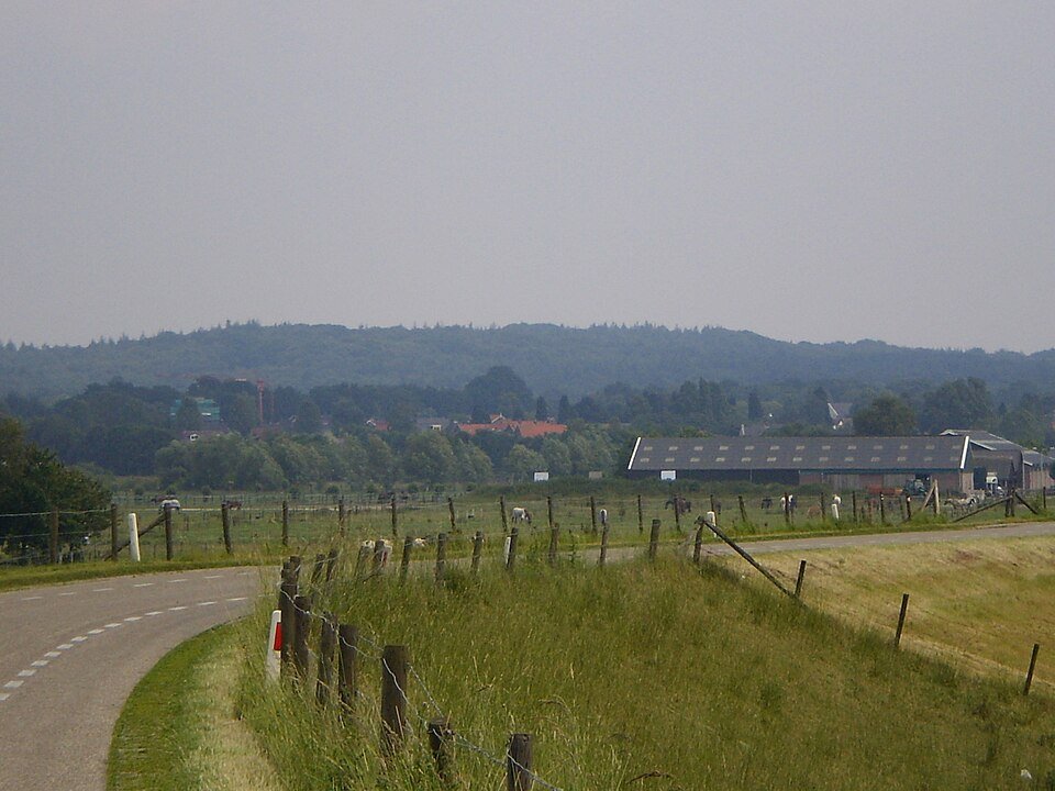
Between the Gooi and Rhenen lies a sandy ridge above the peat and river clay. The Gelderse Vallei beside it is the hollow left behind by the ice.
During the Saalian glaciation, Scandinavian land ice advanced into the central Netherlands. A tongue of ice pushed frozen river deposits of sand and gravel into tilted slices. This formed the Utrechtse Heuvelrug as the western wall of the glacial basin that is now the Gelderse Vallei. The Veluwe is the eastern wall of the same basin. Between Rhenen and Wageningen, the river later eroded a passage through it. That is a different story from merely the internal valleys of the Veluwezoom: here you read the ridge as a long, relatively narrow barrier in the lowlands.
The north-eastern flank is steeper, while the south-western side slopes more gently, with meltwater fans. During the following ice age, the land ice did not reach the Netherlands, but the wind did: coversand, inland dunes and dry valleys formed. Scandinavian erratic boulders have been collected at Zanderij Maarn. Woodland now covers much of the relief; dry valleys still reveal its layout. Walk from the valley to the crest — for paths and access, consult the land manager. First clay or peat, then coarse sand, then a view. The relief preserves traces of ice, meltwater and wind.
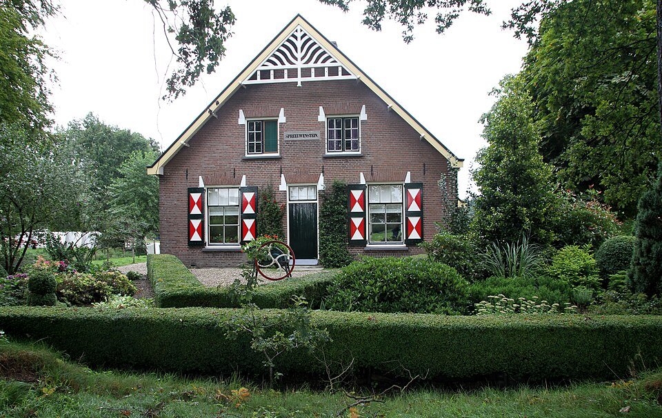
Follow a permitted path that climbs from the low-lying land. The difference in elevation makes the ancient push moraine both visible and tangible.
A fresh perspective
The Utrechtse Heuvelrug and the Veluwe were connected in the south until river erosion opened the passage near Rhenen.
Compare the steep flank facing the Gelderse Vallei with the gradual descent towards the Kromme Rijn.