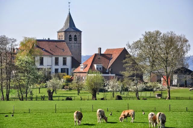
River dunes near Nijmegen: sand from the riverbed, not from the ice
East of Nijmegen, the push moraine rises steeply above the Waal. In the adjacent Ooijpolder lie low sandy rises. That is a different kind of sand.
The Nijmegen–Kleve push moraine was formed when Saalian ice pushed river deposits upwards. The Rhine later cut through that arc, creating the Gelderse Poort. The flanks became steep. This is gravel-bearing sand that was pushed and tilted. River dunes formed differently. During cold, bare periods, parts of the riverbed dried out. Wind picked up sand from the braided river and deposited it in ridges. In the Ooijpolder and near Persingen and Zyfflich, these sandy rises became the first habitable places in an otherwise wet basin landscape. Natural levees are different again: they consist of sand deposited beside the river during high water.
So there are three kinds of sandy landform around one city. Push moraine: ice. River dune: wind acting on a dry riverbed. Natural levee: water depositing sand beside the river. The clayey basin between them was too wet for early villages. Stand on the edge of the push moraine and look towards the low undulations in the polder. Those rises are not miniature push moraines. Information about paths and access in the Ooijpolder is provided by the area's land manager.
A fresh perspective
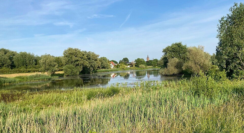
Early settlement in the Duffelt sought out the river dunes; the basin areas remained under water for too long.
From Nijmegen-Oost, compare the steep wooded ridge with the flat Ooij, interrupted here and there by a sandy rise around a village.