Room for the River 2.0: why space along the Maas remains reserved
National government and the region want to keep areas behind the dykes free for measures after 2050. What such a reservation means, and what the Maas learned from 1995 and July 2021.
Hollandmagazine editorial team ·
On Wednesday 23 September 2026, the province of North Brabant announced that the regional partners in the Delta Programme Maas support the Room for the River 2.0 proposal. That proposal keeps space free along the Maas for a river that may later need to become wider. It sounds like a line on a map, but it concerns fields, dyke villages and floodplains where people cycle, live and work.
On its own website, the programme describes itself as a collaboration between national government and provinces, water boards, municipalities and the Delta Programme. It started in April 2025. The first Room for the River was mainly about high water; its successor also looks at drought, a riverbed that is eroding, shipping and the distribution of fresh water. According to the programme, high and low water are two sides of one river system.
According to the province, the programme’s steering group adopted its advice to the cabinet on 17 September 2026. The cabinet is expected to decide in December 2026.
What the first Room for the River achieved
How it began is described by Rijkswaterstaat, the manager of the major rivers. In 1993 and especially in 1995, after a great deal of rain and meltwater, the rivers ran so high that dykes threatened to give way in many places. In Limburg, the undyked villages of Borgharen and Itteren were flooded. After that, national government took a new approach: the dykes were strengthened, but the rivers were also given more space.
According to Rijkswaterstaat, this happened at 34 locations between 2006 and 2019, mainly along the IJssel, the Waal, the Nederrijn and the Lek. Dykes were moved inland, side channels were dug and floodplains were lowered. Along the Maas, a separate programme, the Maaswerken, widened the river from 2005 onwards, the river manager writes.
July 2021: extreme rain, high water on the Maas
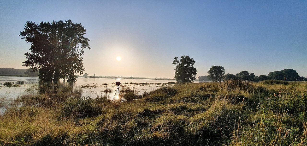
In July 2021, an extreme amount of rain fell in South Limburg, Belgium and Germany. Deltares, which later analysed the event, reports that more than 110 millimetres of rain fell within three days, spread over an area about half the size of the Netherlands. Streams and rivers burst their banks.
Downstream, shortly after the Maas flood wave, Waterschap Aa en Maas wrote that the high Maas water had nowhere caused major problems in its area. The water board also pointed out a difference: in Brabant, dykes hold back the Maas water; in Limburg, that is far from the case everywhere.
According to Rijkswaterstaat, during that high water the Maas carried more sand and gravel in a short time than it usually does in ten years.
A year after the floods, in July 2022, the Waterveiligheid en Ruimte Limburg (Water Safety and Space Limburg) programme started. In it, the province of Limburg, Waterschap Limburg, the Limburg municipalities and national government work together, the province of Limburg reports. The lesson that the Delta Programme and Deltares draw five years later is a sober one: not every flood caused by extreme weather can be prevented, so preparation and awareness also count.
What a reservation means for the landscape
A spatial reservation is not a digger. According to the programme, it concerns land that currently lies behind the dyke. Living there remains possible, farmers and businesses may carry on, and maintenance and small or temporary plans are often still possible too. Large new developments that would stand in the way of widening the river later can no longer simply go ahead; the programme mentions a housing estate, an apartment complex or a large business expansion. Land is not being bought now, and any interventions are intended for after 2050.
Along the Maas, the programme does not propose any new reservations behind the dyke. There it concerns existing reservations, which will remain, be adjusted or lapse. Some of them are already laid down in law in the Besluit kwaliteit leefomgeving (Environment Quality Decree). The province mentions existing areas in ’s-Hertogenbosch and Land van Cuijk, and an adjustment of the reservation in Wijchen and Heumen. For the Maas valley, a separate process is under way with the region.
Bokhoven shows why such a reservation matters. Around 130 hectares have already been reserved there. Between Bokhoven and Well, the Maas is too narrow, and at Hedel the dyke cannot be raised, because a lot has been built on or against it. A later solution is to move the dyke inland, so that the floodplain becomes wider. The programme proposes keeping the reservation.
Saskia Boelema, chair of the Delta Programme Maas, stresses in the province’s announcement: “We depend on each other for our safety.”
After the cabinet decision, according to the programme, the draft National Water Programme 2028-2033 is expected to be made available for inspection at the end of December 2026, after which anyone can submit a response. From the first quarter of 2027, national government will map out the precise boundaries.
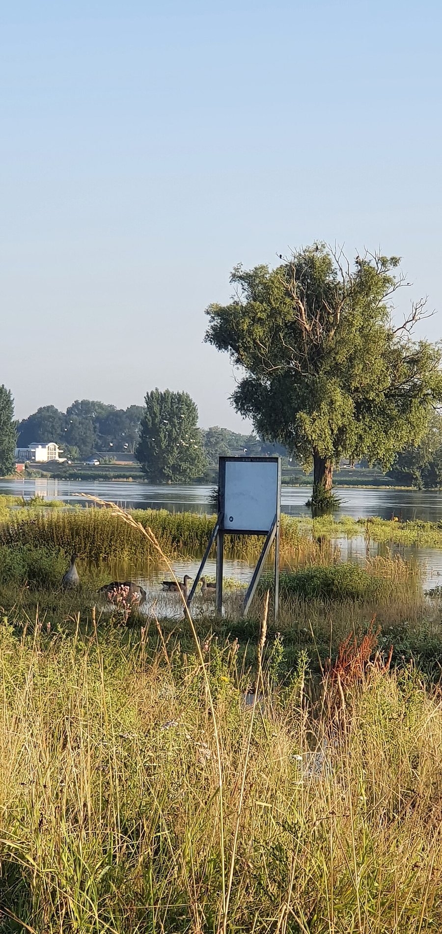
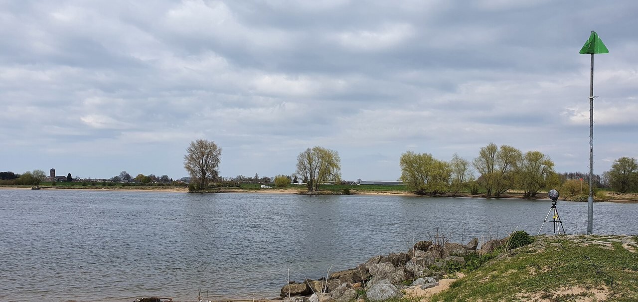
Photo: The Maas near Bokhoven in April 2021: a wide river under a cloudy sky, with stones and grass on the bank and a green waterway marker on the right. Klankbeeld / Wikimedia Commons (CC0)