Reading Kinderdijk as a water system, not a row of windmills
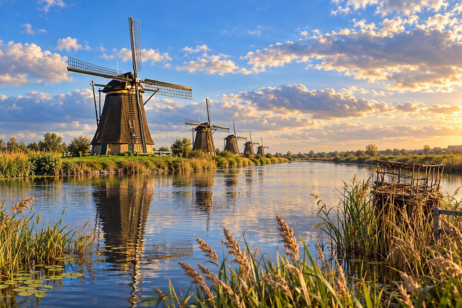
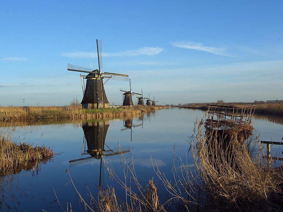
Nineteen windmills in a row make the picture. UNESCO protects something larger: polders, storage basins, pumping stations and sluices that work together to lift water upwards.
Kinderdijk lies where the Alblasserwaard has to discharge its water into the Lek. First, a polder windmill or pumping station moves the water into a low storage basin. Then storage-basin windmills lift the water another step higher, towards the sluice and river. UNESCO describes the Mill Network at Kinderdijk-Elshout as this complete system: polders, high and low canals, nineteen windmills, pumping stations, discharge sluices and water-board buildings. The sails are the visible part of a staircase. Without the water basins beside them, they have no work to do.
The present rows date largely from 1738 and 1740: brick windmills along the Nederwaard, thatched windmills along the Overwaard. Two systems operated in parallel. High storage basins provided extra capacity when windmills alone were no longer sufficient. Pumping stations took over the daily work. The historic windmills show how water used to be moved. Anyone who photographs only the sails misses the embankments, the difference in water level between the ditches and the direction in which the water flows.
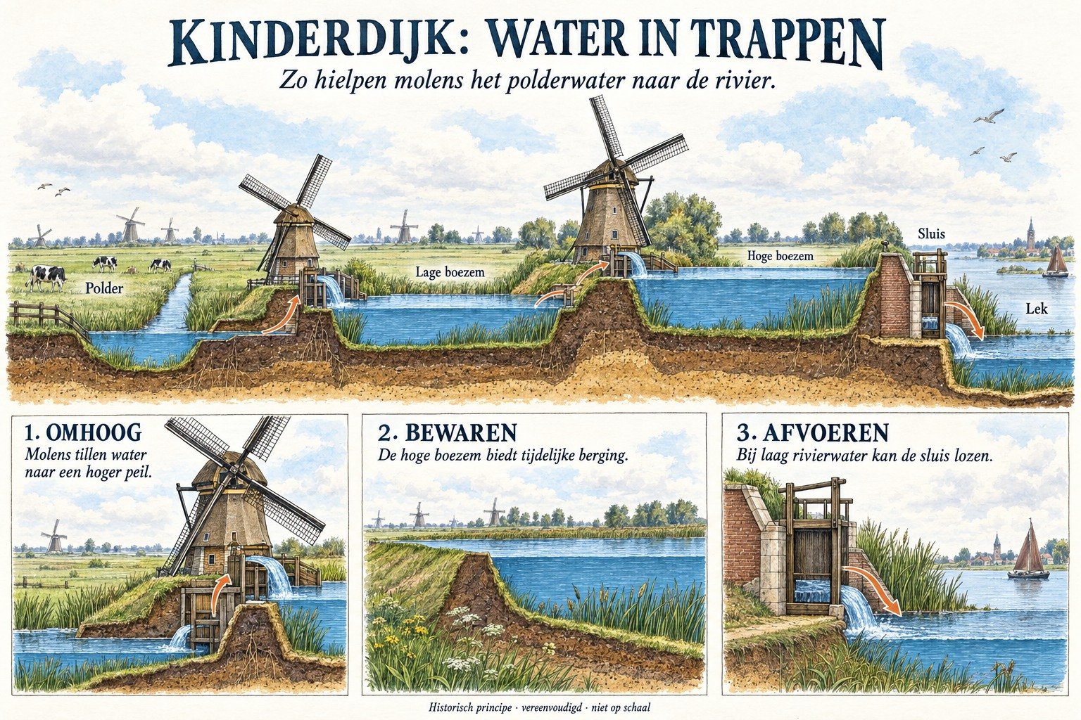
Read the landscape from low to high: polder, low storage basin, high storage basin, Lek. Every step represents a decision about which water is allowed to go where. Keeping feet dry here is not magic performed by wood and canvas. It is a hierarchy of water basins.
Kinderdijk is therefore a lesson taught in the open landscape. The postcard shows a row. The heritage is the system.
A fresh perspective
At Kinderdijk-Elshout, UNESCO counts pumping stations, sluices and water-board buildings as part of the network too.
Stand on the embankment beside a windmill and look for the difference in water level before and after the scoop wheel or Archimedean screw.