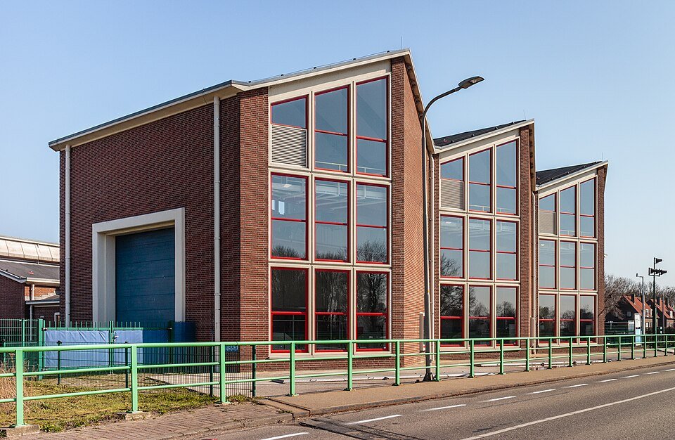
Flevoland: land that lies lower than the sea beside it
In Flevoland, you cycle across a former seabed. The IJsselmeer lies higher than many field edges. That is not an optical illusion. It is a polder.
The Zuiderzee was salty and shallow until the Afsluitdijk closed off its connection to the sea; after that, the IJsselmeer became fresh water. Then came the IJsselmeer polders: the Noordoostpolder, Eastern Flevoland and Southern Flevoland. Enclosing dykes kept the lake out. Pumping stations emptied the basin. What remained was clay and sand on which Lelystad and Almere later grew. The ground level lies metres below NAP. The IJsselmeer beside it stands higher. Without pumps, the land would fill with water.
That is the difference from an old reclaimed lake in Holland. Flevoland is twentieth-century, larger, and deliberately planned as a province. Canals and drainage channels carry water to the pumping stations. Farmers, cities and nature reserves share the same scale. The Oostvaardersplassen lie within this drained polder, but the principle remains the same: the floor lies lower than the water surface.
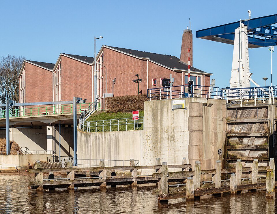
For you as a visitor, this is easiest to see at a lock or pumping station. Outside the dyke is water; inside is land that can only be kept dry with electricity and management. A sunny polder road feels safe until you realise that the horizon is a lake that must not be allowed in.
Flevoland, then, is not an island that rose from the waves. It is a floor that we drained and must continue to keep dry. Every harvest here rests on that agreement.
A fresh perspective
The province itself is younger than the polder technology: first came the land, then the provincial boundary.
Stand on top of a ring dyke: lake on one side, lower land on the other.