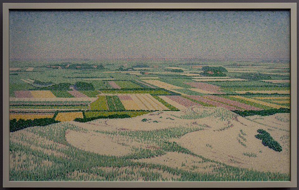
Zeeland creek ridges: the old channel lies higher than the land
In Zeeland, a village road sometimes runs over a gentle rise while the meadow beside it lies lower. That rise is a creek ridge: sand left behind by a tidal channel.
When salt marshes and mudflats were still growing with the tides, channels filled with sand and silt. Between them lay peat or soft clay. Later, the area was enclosed by dykes. The peat compacted and oxidised. The sand in the former creek compacted less. The result: inversion. What was once the deepest water is now the highest strip of land. Roads, farms and sometimes entire villages were built on it. The lower basin land remained wet and soft.
You can see this pattern on Walcheren, Zuid-Beveland and in other old-land polders. A creek ridge is not a push moraine or a river dune. It consists of tidal deposits that rise above their surroundings after the peat has subsided. Drainage patterns still follow these ridges. Modern land consolidation has straightened some lines, but the relief can still be felt beneath the asphalt.
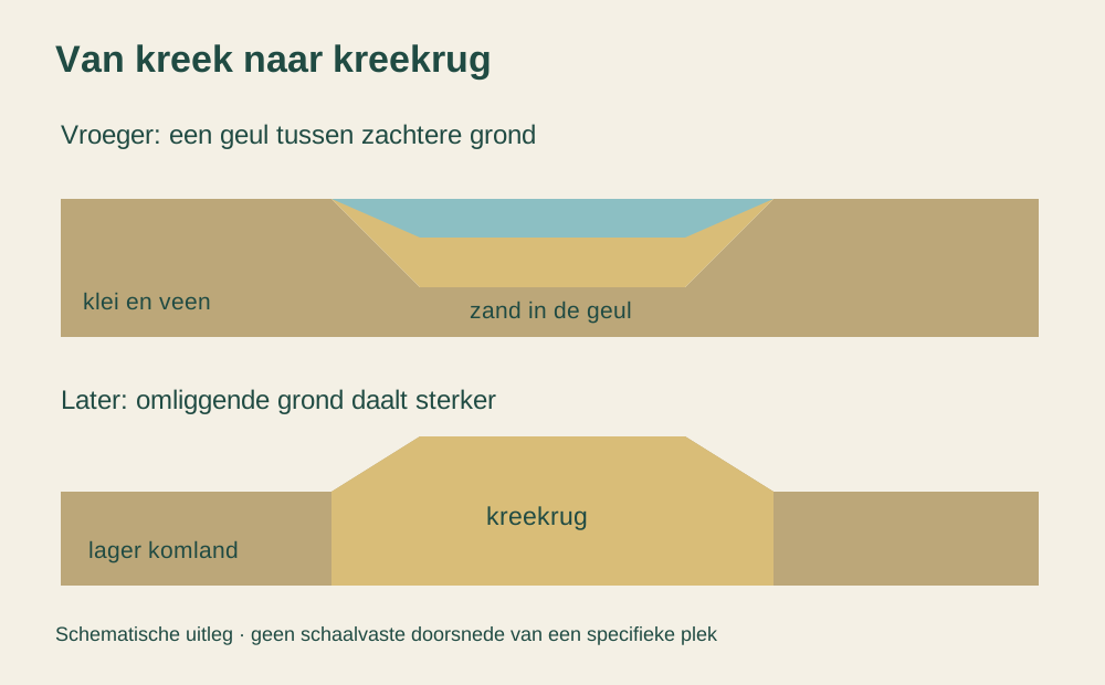
If you cycle from a church on a ridge towards a meadow, within a few hundred metres you descend from firm to soft ground. In wet winters, the low-lying land floods sooner. The relatively high ridge therefore offered a favourable location for roads.
In this way, Zeeland preserves its ancient channels in inverted form. The water is gone. The ribbon of sand remains.
A fresh perspective
Relief inversion turns the landscape upside down: the former creek becomes the ridge.
Follow a winding village road that lies higher than the surrounding plots; it is often on a creek ridge.