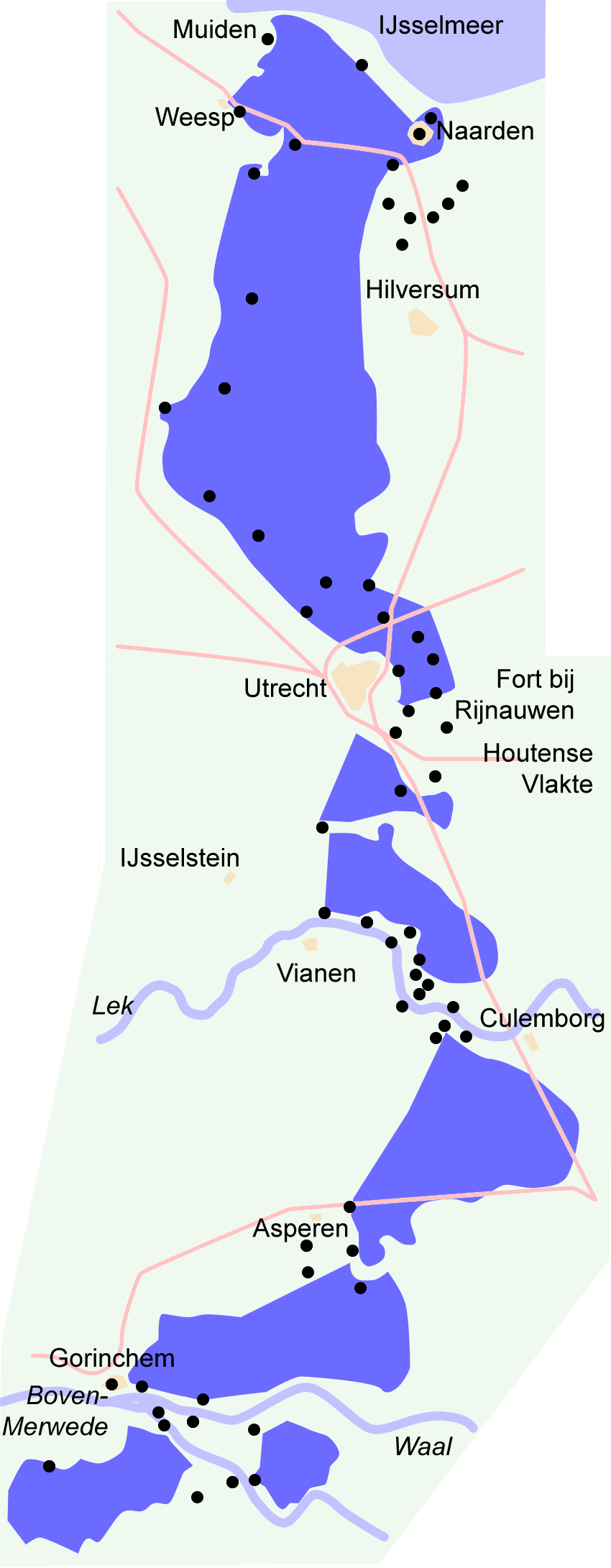
The Utrecht water defence line: land that could be flooded
East of Utrecht lies more than an ordinary river dyke. There is an old agreement embedded in the landscape: in wartime, let the land flood so that an army would become bogged down in the water.
The New Dutch Waterline runs in an arc from the Zuiderzee to the Biesbosch and cuts straight through the province of Utrecht. Forts, inundation basins, sluices and embankments all worked together. In peacetime, it was meadowland. In wartime, inlet sluices were opened until the water stood at a shallow depth: too deep for horses and cannon, too shallow for boats. Utrecht thus became the keystone between old Holland and the higher sandy ground.
That is different from a permanent polder. Inundation is temporary, planned and contained. Too much water would flood the cities themselves; too little would leave a route open. Hence the precision of the small sluices and water-level gauges near forts such as Vechten and Rijnauwen, or the works along the Vecht. UNESCO protects the waterline as an ensemble, not as a single building.
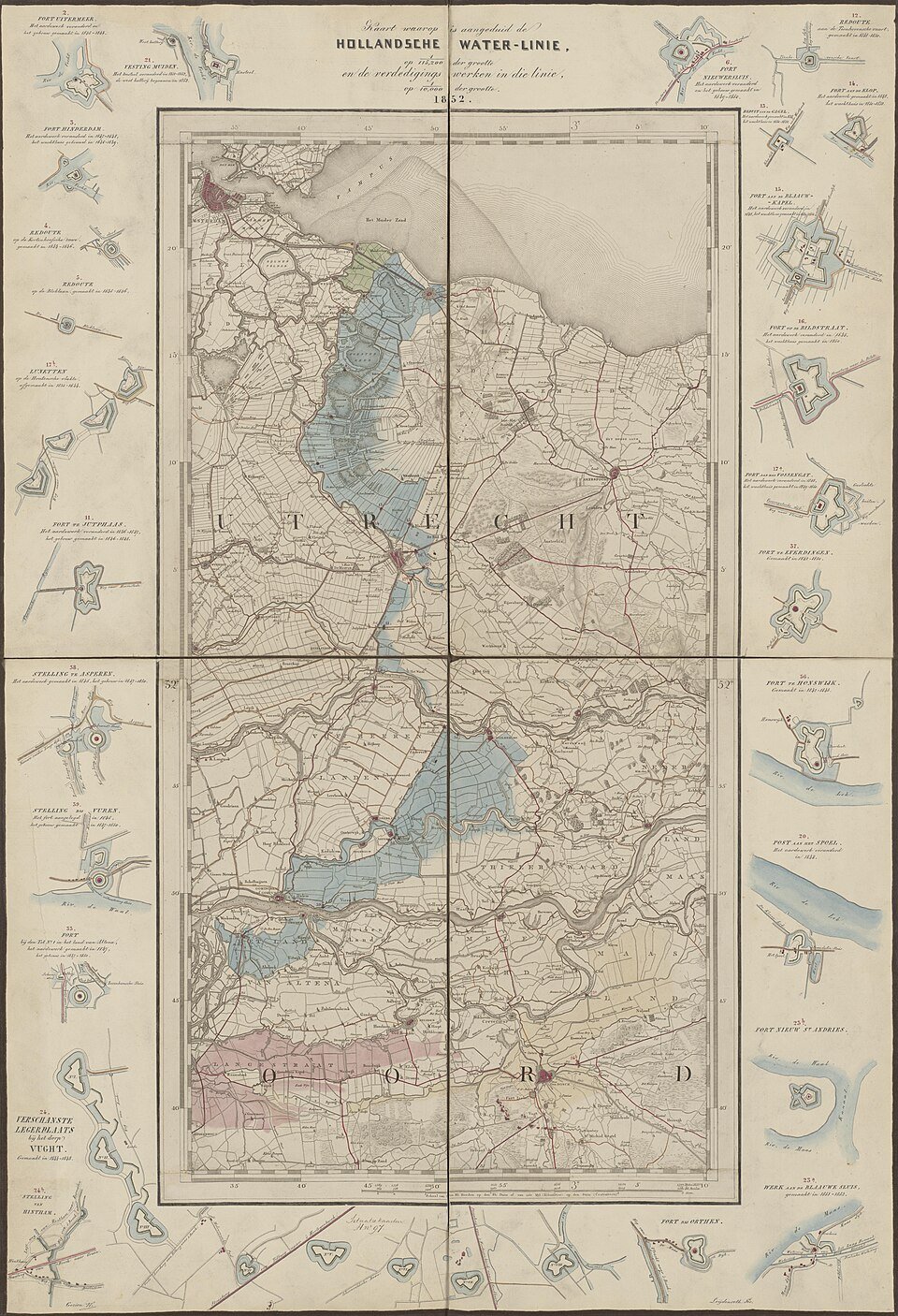
Today it is primarily a cycling route with brick casemates amid the greenery. Its military use has ended. The landscape remains legible: a sluice where there seems to be no shipping canal, a fort guarding a meadow. Here, water was a weapon.
Walk from the city into the inundation basin. First stone, then low-lying hay meadow. That low area was the planned expanse of water.
At a fort, look for the inlet or sluice, not just the gate.