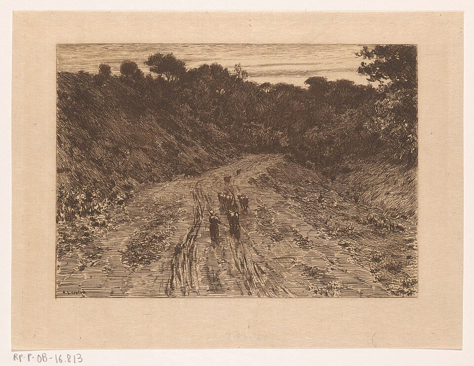
Limburg sunken lanes: the path that wore itself into the landscape
In South Limburg, you sometimes walk between two walls of loess. Above you, a tractor drives across the plateau. You are metres lower, down in the lane.
Sunken lanes develop where wheels, hooves and rain follow the same route through soft loess. Every shower washes soil away. Every cart wears down the surface. Over hundreds of years, the path sinks into a hollow with vegetated banks. The plateau beside it remains high. A sunken lane, then, is not an excavated tunnel. It is erosion given a direction.
Loess is fine, fertile and vulnerable. South Limburg has plateaus and dry valleys formed from it. Sunken lanes connect villages, fields and streams. In their shade, plants grow that disappear from the open fields. To the eye, it is a green corridor. To the soil, it is a scar that we have come to cherish. Asphalt on the road surface stops further deepening; the shape remains.
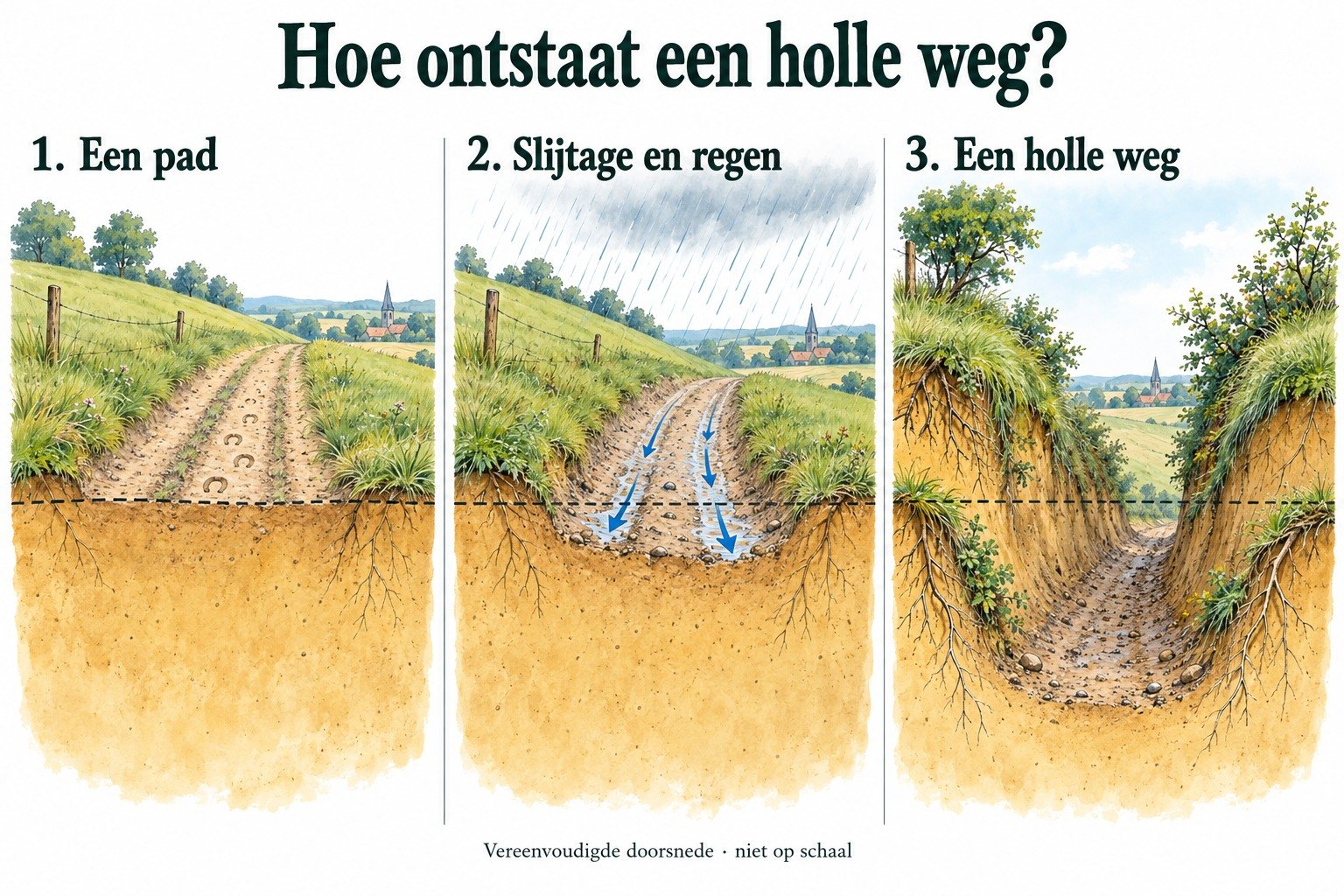
Climb out of the sunken lane onto the plateau. In ten steps, you move from cool shelter into the wind. That difference in height is the history of traffic.
In this way, Limburg preserves old routes as incisions in the landscape. The road itself is a trace of centuries of use.
A fresh perspective
A sunken lane became deeper because it was used, not because someone dug a trench.
Look up at the field bank: roots and layers of loess reveal the erosion.