Groningen wierden: trade on a man-made mound
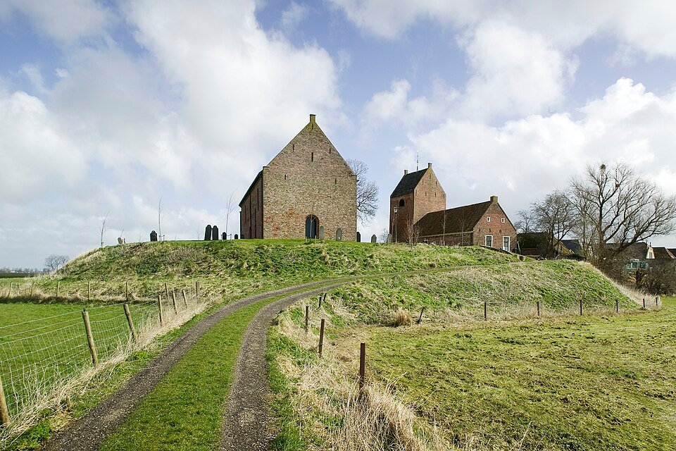
In the clay landscape of Groningen, a village rises above the surrounding ground. That mound is not a push moraine. It is a terp, known here as a wierde: earth piled up to provide a dry place to live when the sea could still flow freely in and out.
Before the medieval dykes, the northern clay region was a tidal landscape. People piled manure, turf and waste in one place until an island of earth rose above the surroundings. Houses, and later a church, stood on the crest; lower down were barns and paths that could become wet at high tide. A wierde is therefore an archive of labour: its layers preserve traces of earlier habitation.
Trade was part of it too. Wierden lay beside tidal creeks where boats could moor. Livestock and grain came from the hinterland; fish and salt came from the Wadden Sea, with longer journeys following later. Ezinge became famous for excavations that revealed farmstead plans century after century. Not every wierde is Ezinge, but the principle is the same: an artificial dry place in a wet working landscape.
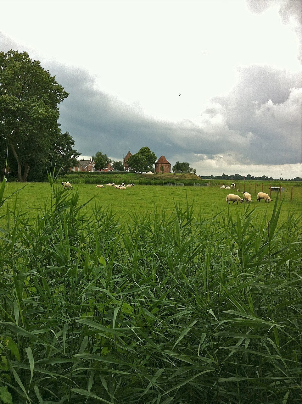
Once the dykes were built, the need diminished. Some wierden were dug away for their fertile soil. You can read what remains in the silhouette: a ring road climbing upwards, a church standing higher than the newer buildings in the polder. Cycle from the canal into the village and your legs will tell you more clearly than a sign.
The lesson is straightforward. Groningen reclaimed land from the sea, but it began with a mound that the sea was allowed to wash around. First, living meant moving upwards; only later did it mean living behind a dyke.
Approach the village across the low-lying land and look for the ring that curves upwards towards the church.