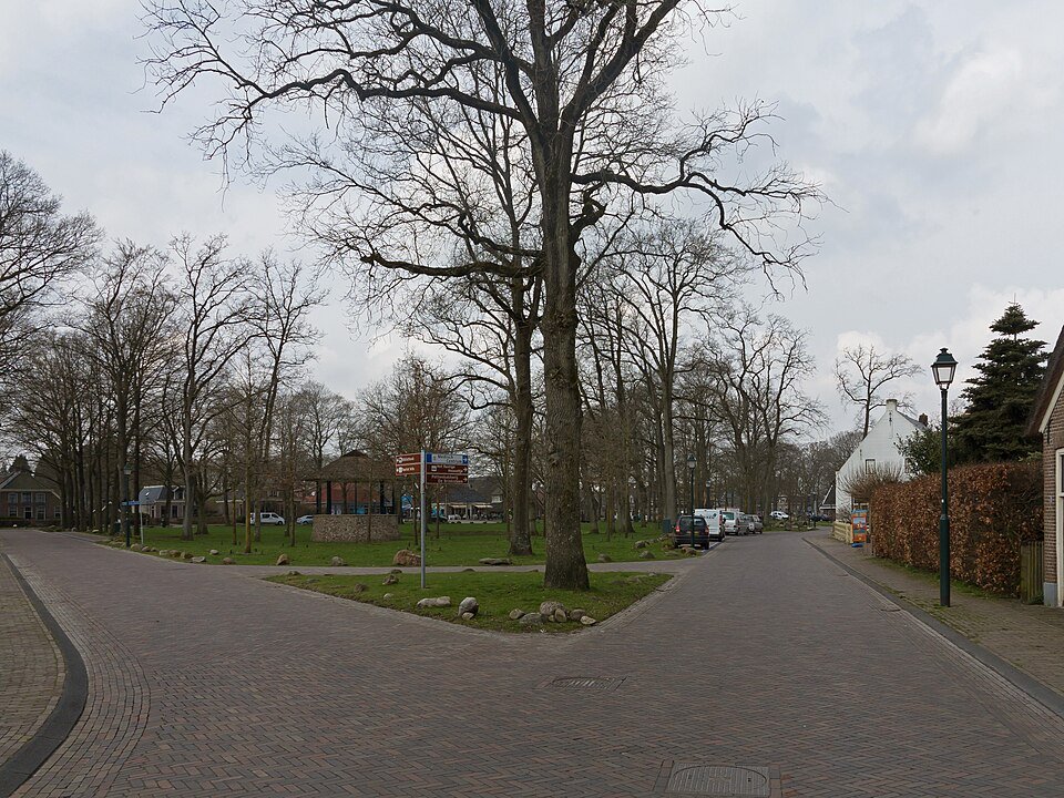
Drenthe esdorpen: field, village green and heath in one farming system
A Drenthe esdorp is not a ribbon development along a road. It is a division of labour: the es for grain, the village green for livestock, and the heath and stream valley for everything else.
On sandy soils, you could not plough everywhere. The best, slightly higher ground became the es: an open complex of arable fields used collectively by the village. Closer to the houses lay the brink, a grassy village green where livestock was gathered. Lower down, where it was wetter, lay hay meadows. Farther away were heathland or woodland that supplied manure and turf. That manure went back onto the es. Without understanding that cycle, you miss how the system worked.
The village itself remained compact, often arranged in a ring around the brink. Farmhouses faced the green rather than a shopping street. Marke lands were held in common. Around the es, a wooded bank could keep livestock and wild animals out of the fields. What you now photograph as typical Drenthe is that old division of labour preserved in the landscape.
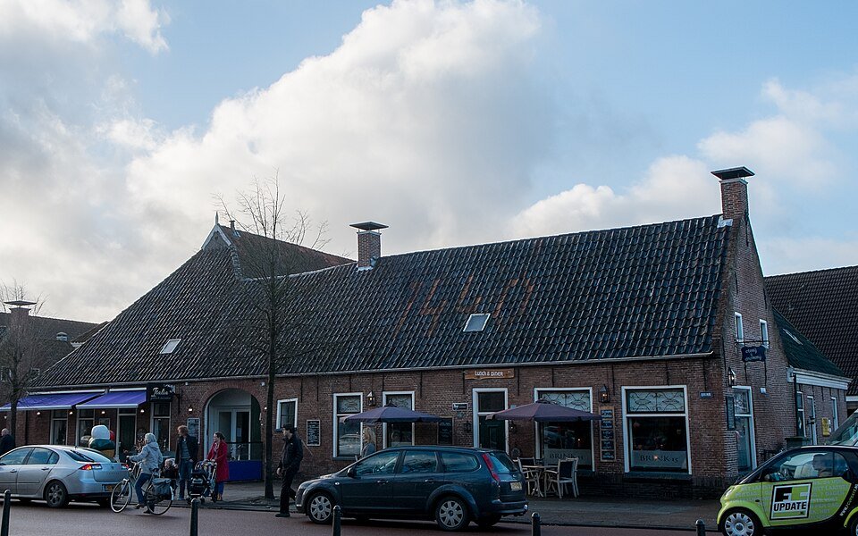
New roads sometimes cut straight across the es. Suddenly you can see how open and gently raised the arable land still is. Meanwhile, the brink may have become a playground or car park. The logic remains readable if you look for the three zones: dwelling, arable land and outlying field.
So look beyond the village as well. The brink, the arable fields and the former outlying land belong to one story: how farmers on sandy soils gathered enough food and manure to sustain themselves.
A fresh perspective
Turf cut from the heath was used to fertilise the es; the arable land was literally raised over time.
Stand on the brink and turn in a circle: houses, then the open es, then the lower green land.