Suurhoffbrug A15: what the cracks in the old bridge to the Maasvlakte mean
Since 16 September, all traffic heading for the Maasvlakte has been driving on the hard shoulder. What a main girder does, what Rijkswaterstaat says about the cracks and how traffic is being diverted.
Hollandmagazine editorial team ·
On Thursday 24 September 2026, the NOS reported on the consequences for the transport sector of the partial closure of the Suurhoffbrug on the A15. That closure began a week earlier. On Wednesday 16 September, at around 5 p.m., Rijkswaterstaat closed the two regular lanes of the old bridge in the direction of the Maasvlakte. Since then, all traffic there has been using the hard shoulder.
The reason: during an inspection, Rijkswaterstaat found cracks in one of the bridge’s main girders. According to the road authority, this affects the bridge’s stability and load-bearing capacity.
Two road bridges and a railway bridge
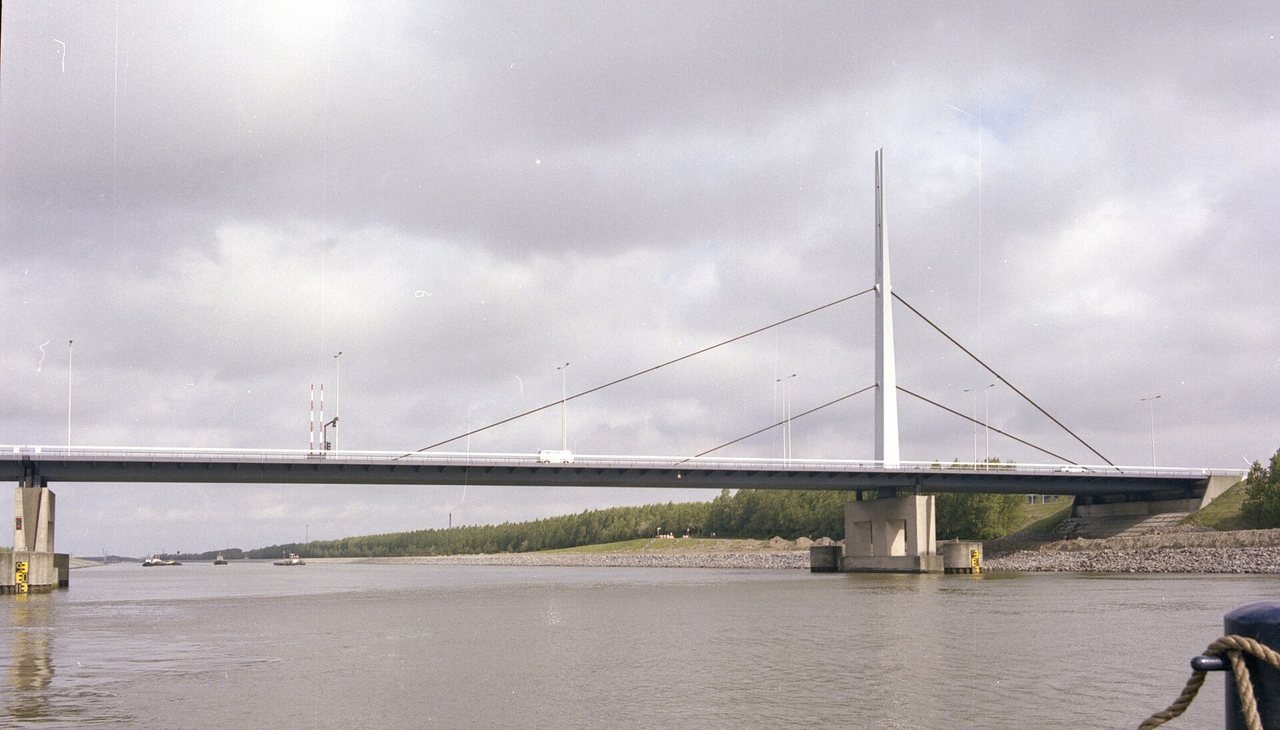
The Suurhoffbrug spans the Hartelkanaal and consists of three bridges side by side: two road bridges, one for each direction, and a railway bridge. The problem lies in the old, western bridge, which carries traffic to the Maasvlakte. The bridge dates from 1974 and had already been monitored particularly closely for some time.
Next to it, since 2021, lies the new, eastern bridge, recognisable by its white arch. It was built to relieve the old bridge and carries traffic from the Maasvlakte towards Rotterdam.
Normally both road bridges have two lanes. According to Rijkswaterstaat, 36,500 vehicles cross them every day, 15,500 of them lorries. Rijkswaterstaat calls the bridge the gateway to the port of Rotterdam. Every day some 80 ships pass under the bridge, and around 100 goods trains cross the railway bridge daily, the authority reports.
What a main girder does
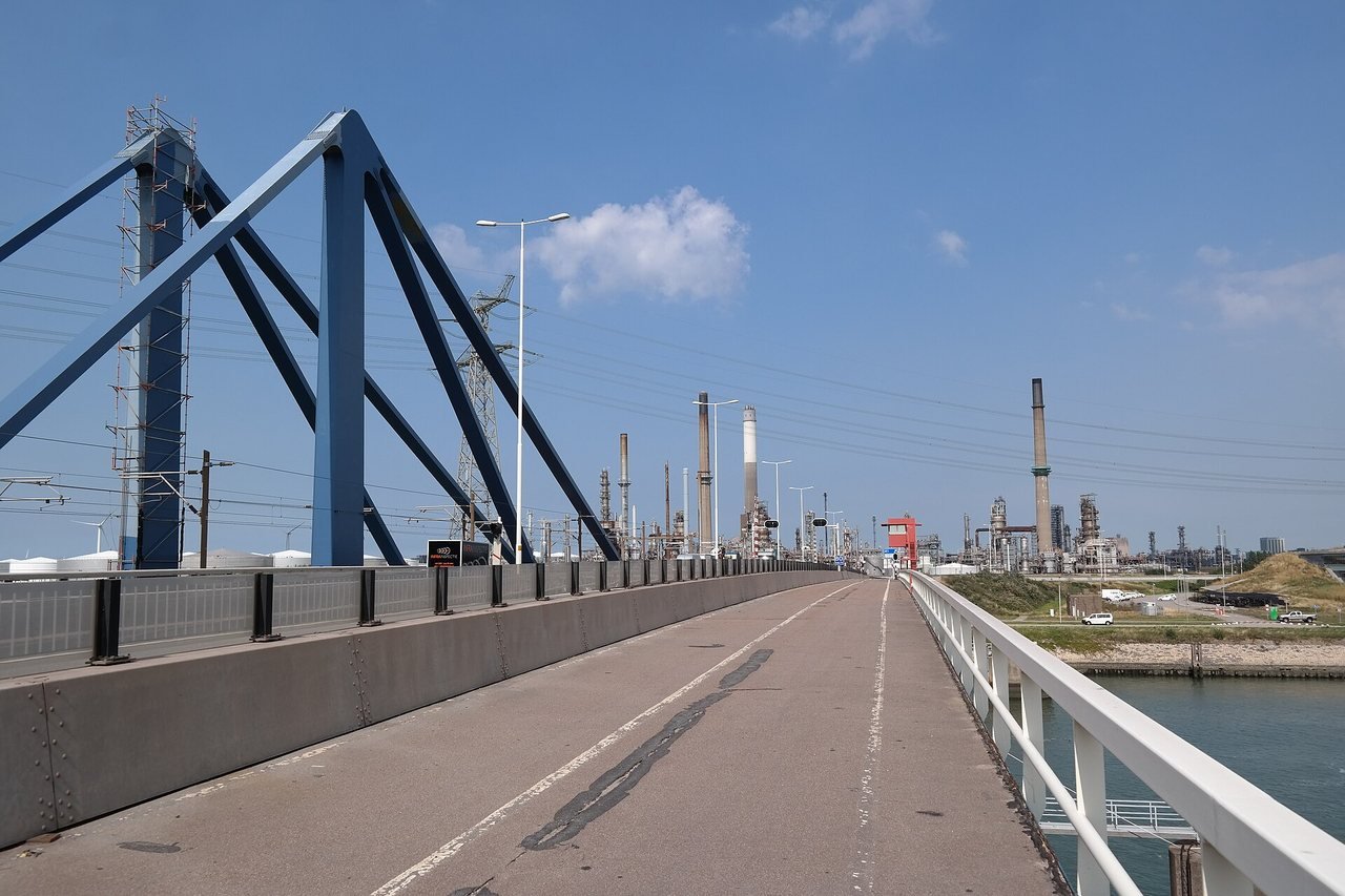
A girder bridge rests on long beams, the girders, which form the entire span. The road deck lies on top of them. In large bridges these are no longer solid beams but steel or concrete sections. The old Suurhoffbrug has a steel supporting structure with main girders.
If an inspection shows that a bridge’s safety cannot be guaranteed, Rijkswaterstaat intervenes immediately, the authority writes. At the Suurhoffbrug, Rijkswaterstaat chose to route traffic over the hard shoulder to reduce the load at the location of the cracks. A speed or weight restriction was also considered, but according to the authority that would not have helped enough.
This new driving line had a consequence: the steel structure at a so-called trough now has to cope with the weight in a different way. A trough is a box-shaped steel component on the underside of the bridge deck. Its repair had already been planned but was brought forward. For this, the bridge was closed in the direction of the Maasvlakte in the night from Saturday 19 to Sunday 20 September. Rijkswaterstaat had scheduled the repair from 10 p.m. to 6 a.m.; according to the update afterwards, traffic was able to use the hard shoulder again from 3 a.m. on Sunday 20 September.
Old and heavily loaded
Rijkswaterstaat does not name a precise cause of the cracks in its announcements. It does, however, outline the bigger picture. Because of its age and the ever heavier freight and passenger traffic, the bridge is due for replacement. Because it is ageing, it is monitored more closely, and such inspections can bring defects to light.
The Suurhoffbrug is not alone. According to Rijkswaterstaat, many bridges, tunnels and locks from the 1960s and 1970s are due for major maintenance or replacement.
That the old bridge needs replacing was already known. According to Rijkswaterstaat’s original planning, as Hart van Nederland reported, this was to happen around 2031-2032, with a new bridge on the same site.
Diversions and what is still to come
According to Rijkswaterstaat, anyone driving to the Maasvlakte should allow 20 to 30 minutes of extra travel time. Traffic towards Rotterdam simply uses the new bridge. Ships can still pass under the bridge as normal.
During the overnight closure for the trough repair, traffic to the Maasvlakte was diverted via the Harmsenbrug on the N57, the N218 and the N15, Rijkswaterstaat reported. Emergency services were, however, able to use the old bridge at that time.
The next step is two-way traffic on the new, eastern bridge. It was designed for this, but a great deal still has to be done: adjusting traffic systems and road markings and installing a carriageway divider. When that will be finished is not yet known.
How long traffic will continue to use the hard shoulder has not been fixed. On 17 September, Hart van Nederland reported four to eight weeks, citing Rijkswaterstaat; the NOS wrote six to eight weeks the same day.
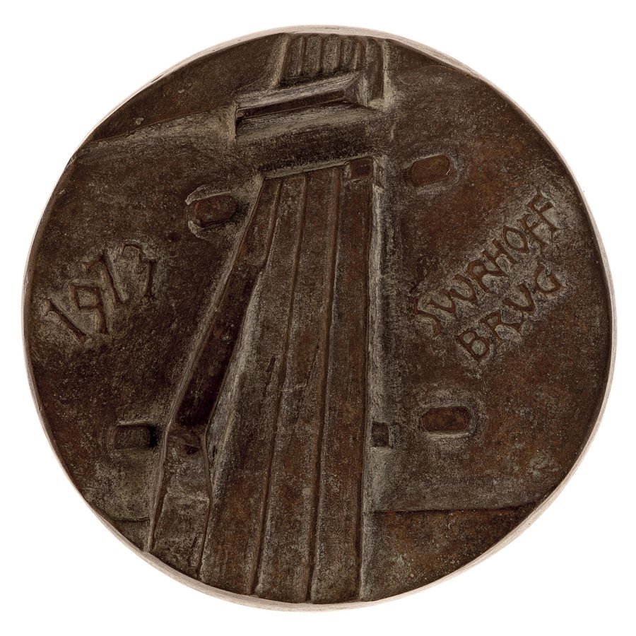
Photo: The Harmsenbrug over the Hartelkanaal in an archive photo from 1981. When the old Suurhoffbrug was closed in the night from 19 to 20 September 2026, traffic to the Maasvlakte was diverted via this bridge on the N57. Fototechnische Dienst Rotterdam, Gemeente Rotterdam (Stadsarchief) / Wikimedia Commons (CC BY 4.0)