Hoek van Holland in autumn: a beach beside the port entrance
The town grew with the Nieuwe Waterweg; beach, metro and pier show where sea and shipping meet.
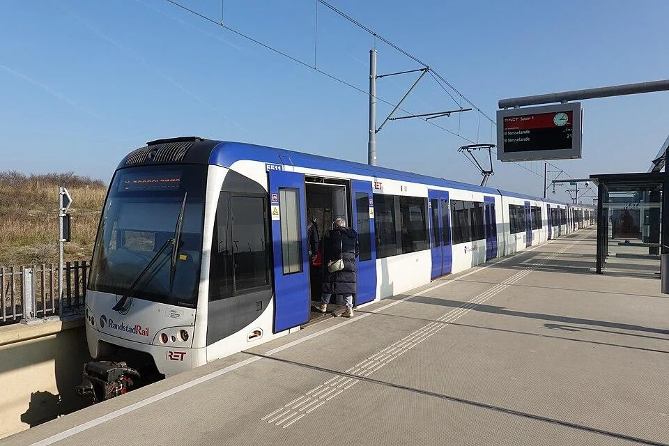
Hoek van Holland stands where the Nieuwe Waterweg reaches the North Sea. On one side the beach stretches along the dunes; on the other, vessels pass on their way to and from Rotterdam’s port. This explains the town’s dual character as a seaside resort and gateway to a major world port. In autumn, after the official beach season, the coast remains public space, though the summer beach routine has gone. The waterway, pier and town all show that the landscape is also an active shipping route.
The town grew as that route was built. Rotterdam City Archives says a law passed in 1863 to improve access to the sea was followed by a settlement for waterway workers, railway workers and pilots. The area had previously been almost uninhabited and belonged to ’s-Gravenzande. Hoek van Holland became part of Rotterdam in 1914. Unlike many old coastal villages, it grew rapidly through a major infrastructure project rather than fishing, establishing its enduring connection with the port city.
Pieter Caland recommended cutting a new channel to the sea to improve access to Rotterdam. The city archives date the symbolic first spade to 31 October 1866 and the first passage through the new link to 9 March 1872. Years of work against silting were still needed before the channel became fully usable. Rijkswaterstaat describes today’s Nieuwe Waterweg as running from Hoek van Holland to the Maeslant barrier. Large vessels use it, and the port entrance marks the visible meeting of river and sea. From the bank, nineteenth-century engineering and contemporary shipping appear in the same view.
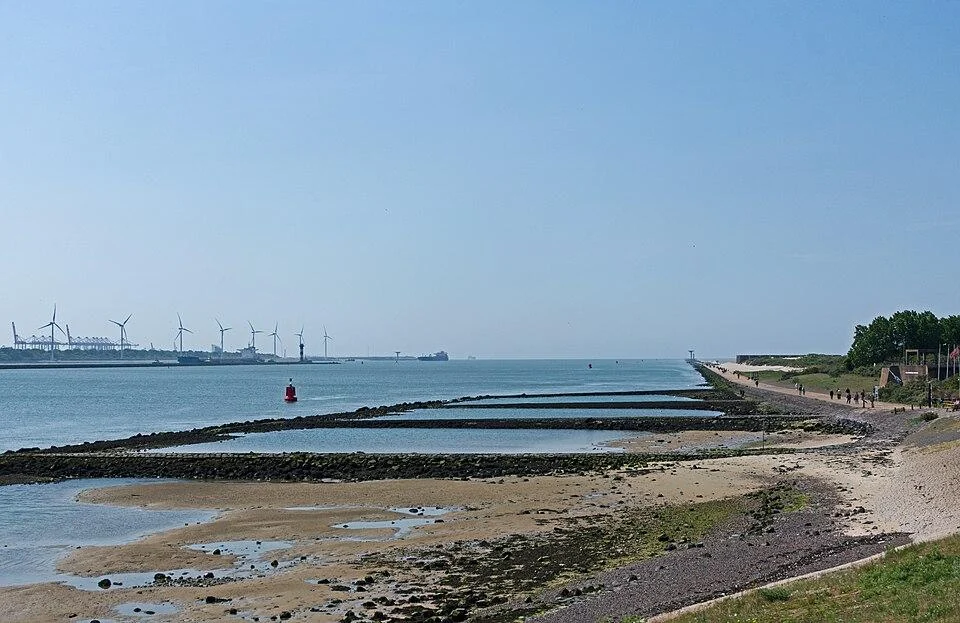
The Noorderpier shows both functions. Rijkswaterstaat manages this breakwater to protect the entrance; pedestrians can watch traffic on the waterway from its accessible section. The outer section, with water on both sides, has been closed since 31 May 2024. Large ships can cause unexpectedly high waves that wash over the pier even when the weather looks calm. The fence marks a real access boundary. A walk towards the sea need not pass it: the beach and open part of the pier provide different views of the coast.
Rotterdam municipality describes Hoek van Holland’s beach as 3.5 kilometres long and about 250 metres wide. It includes a main beach near Badweg and Zeeplein, a sports beach near Rechtestraat and a naturist area near Stuifkenszand. Behind it are freely accessible dunes with walking and cycling paths. The municipality’s beach season runs from 1 May to 1 October, a useful distinction for autumn facilities and supervision. The sea and paths remain visible, while local signs and weather conditions shape how a walk works in practice.
Transport from Rotterdam is also part of the story. RET opened Hoek van Holland Strand metro station in 2023, bringing line B close to the beach. A short autumn circuit can begin in the town with its history as a workers’ settlement, continue along the public shore and end with a view of the port entrance from an accessible place. The closed tip of Noorderpier is excluded. Current travel information and beach rules help shape a visit; the place itself combines transport, water engineering and the sea in one landscape.