Fryslân
De Fryske Marren
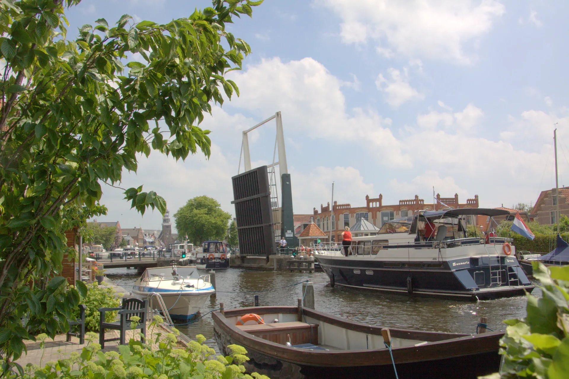
An open bridge and boats between the houses bring Lemmer into view in the large photograph. Water takes up space between the buildings here. At the Ir. D.F. Woudagemaal, that relationship gains a technical dimension: the visitor centre explores water management in Friesland, before a guide leads visitors through the pumping station’s engine hall and boiler house. The photograph in the visit section shows the complex from ground level in July 2018; an aerial view from August 2015 later shows its waterside position.
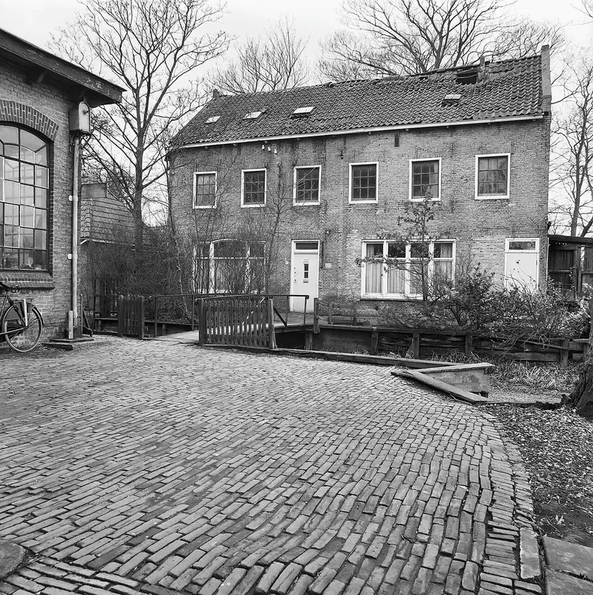
In Joure, attention shifts to making things. Museum Joure connects coffee and tea with Frisian clocks, metalworking and printing. It occupies a former industrial site behind Midstraat. The Wednesday market in the western part of that shopping street adds a second stop close to the museum. The black-and-white photograph of a facade on Geelgietersstraat dates from March 1977.
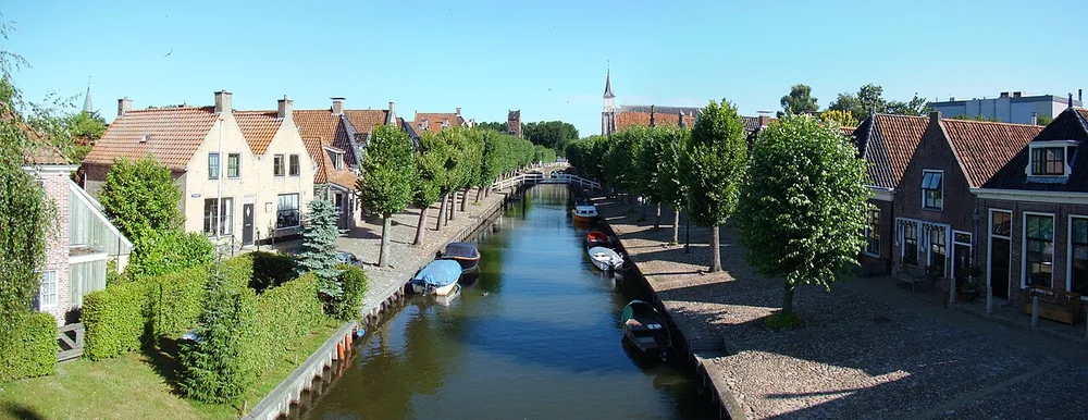
Sloten offers a separate destination within De Fryske Marren. The 2010 panorama shows the town’s canal, houses and bridges. Museum Sloten explores local history. Its November opening and subsequent winter closure make it a different outing from the Wednesday programme in Joure.
Water management at the Woudagemaal

Ir. D.F. Woudagemaal
The visitor centre at the Ir. D.F. Woudagemaal explores water management in Friesland. From there, a guide leads visitors through the pumping station’s engine hall and boiler house. The July 2018 photograph shows the building, chimney and water from ground level. A guided visit and the machinery actually running are separate things.
Gemaalweg 1, 8531 PS Lemmer
A day in De Fryske Marren
An example for an ordinary Wednesday in Joure outside public holidays. Regular opening at Museum Joure is Tuesday to Saturday, 10:00–17:00. The Wednesday market occupies western Midstraat from 12:00 to 17:00. An hour between the two leaves room for lunch and the walk.
10:00–12:00 · Museum Joure
From 10:00 to 12:00, the focus is Museum Joure at Museumstraat 2. Subjects range from coffee and tea to clocks, metal and printing. The photograph accompanying this programme shows a facade on Geelgietersstraat in Joure in March 1977.
13:00–14:00 · Wednesday market, western Midstraat
From 13:00 to 14:00, the itinerary continues at the weekly market on western Midstraat. The museum stands behind this shopping street. This part of the afternoon shifts the visit from crafts and collections to the Wednesday market stalls.
Map and localities
Localities
- Bakhuizen
- Balk
- Elahuizen
- Harich
- Kolderwolde
- Mirns
- Nijemirdum
- Oudega
- Oudemirdum
- Rijs
- Ruigahuizen
- Sloten
- Sondel
- Wijckel
- Bantega
- Delfstrahuizen
- Echten
- Echtenerbrug
- Eesterga
- Follega
- Lemmer
- Oosterzee
- Akmarijp
- Boornzwaag
- Broek
- Dijken
- Doniaga
- Goingarijp
- Haskerhorne
- Idskenhuizen
- Joure
- Langweer
- Legemeer
- Oldeouwer
- Ouwsterhaule
- Ouwster-Nijega
- Rohel
- Rotstergaast
- Rotsterhaule
- Rottum
- Scharsterbrug
- Sint Nicolaasga
- Sintjohannesga
- Snikzwaag
- Terkaple
- Teroele
- Tjerkgaast
- Vegelinsoord
- Terherne
- Nijehaske
- Oudehaske
More about the Woudagemaal and its waterside setting
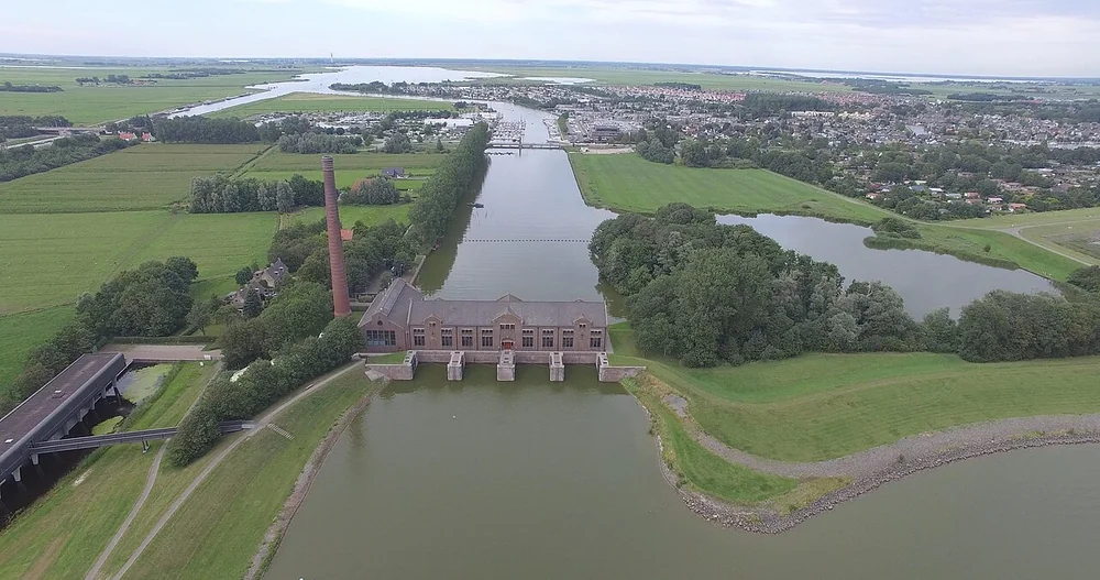
The August 2015 aerial photograph shows the Woudagemaal between water and land. The building, chimney and waterways appear together. The visitor address is Gemaalweg 1 in Lemmer. Indoors, the story begins in the visitor centre with an exhibition about water management in Friesland. The guided tour then continues to the engine hall and boiler house.
Key figures and transport
Population
52,248
Area
549.10 km²
Water
198.10 km²
Localities
51
Reference date · 1 January 2026
Search Holland Magazine
Sloten beside the canal
The town and Museum Sloten
The 2010 panorama shows Sloten’s town canal. Museum Sloten stands at Heerenwal 48 and explores local history. In November 2026, it opens on Fridays, Saturdays and Sundays, 13:00–17:00. Its winter closure runs from 1 December to 31 March. The townscape and museum therefore form separate elements of a visit.