Frisian terps: layers in a changing coast
A Frisian terp is not merely a Groningen wierde with a different pronunciation. It is the same trick — living higher up — but here you can read it as a cross-section of a coast that continually changed shape.
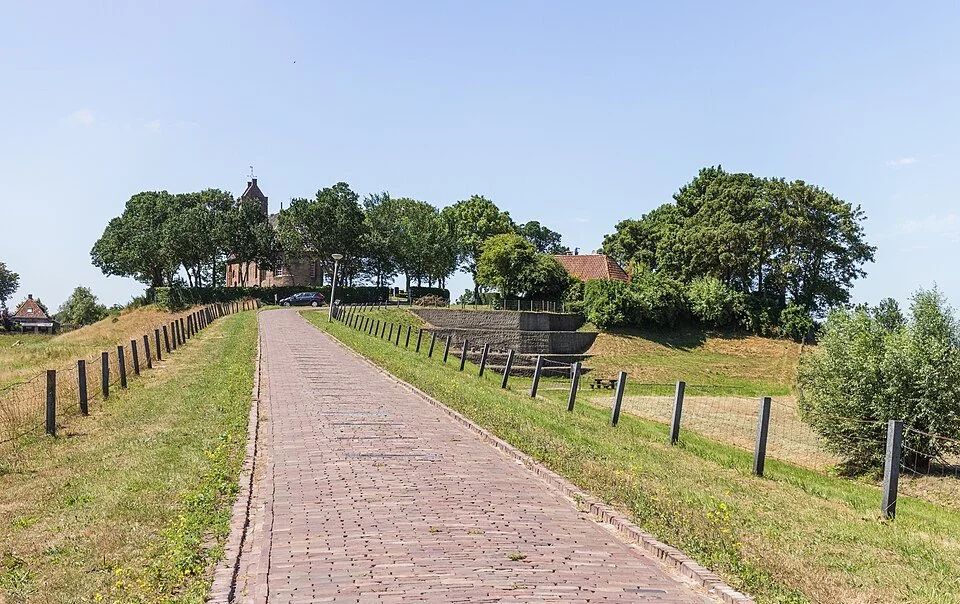
The Wadden landscape shifted. Channels silted up, new creeks cut off pieces of land. Those who stayed piled earth onto the spot that was just dry enough. Archaeologists read terps like slices of cake: manure, clay, household waste, sometimes a layer of fire debris. Those layers reveal how people kept raising and using their dwelling place. Churches often stand on the highest part of the terp.
Friesland shows this especially clearly because many terps were later incorporated into areas enclosed by dykes and polders. The mound remained while the water disappeared from view. What remains is a steep street and a churchyard that lies higher than the new land. Excavations in the nineteenth century removed fertile soil; as a result, some terps survive only as remnants.
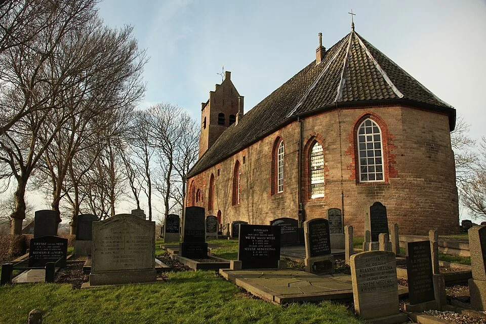
Alongside the height, the direction of old paths reveals the history: they often followed the crest rather than today’s ruler-straight canal. The terp is an inhabited timeline, not a viewing mound for tourists.
Anyone cycling from Groningen to Friesland will recognise the principle: people created their own higher place to live. Wierde or terp, the mound tells the story of how people could continue living in a landscape where water was always close by.
A fresh perspective
An excavated terp sometimes reveals a steep edge: it is a cross-section through centuries of manure and clay.
A churchyard higher than the newer buildings marks the old crest.