Bronkhorst: a small town between a castle mound and the IJssel landscape
Bronkhorst received town rights in 1482. Its streets, chapel and castle mound tell the story of the old town; just beyond them begins a very different walking landscape beside the IJssel.
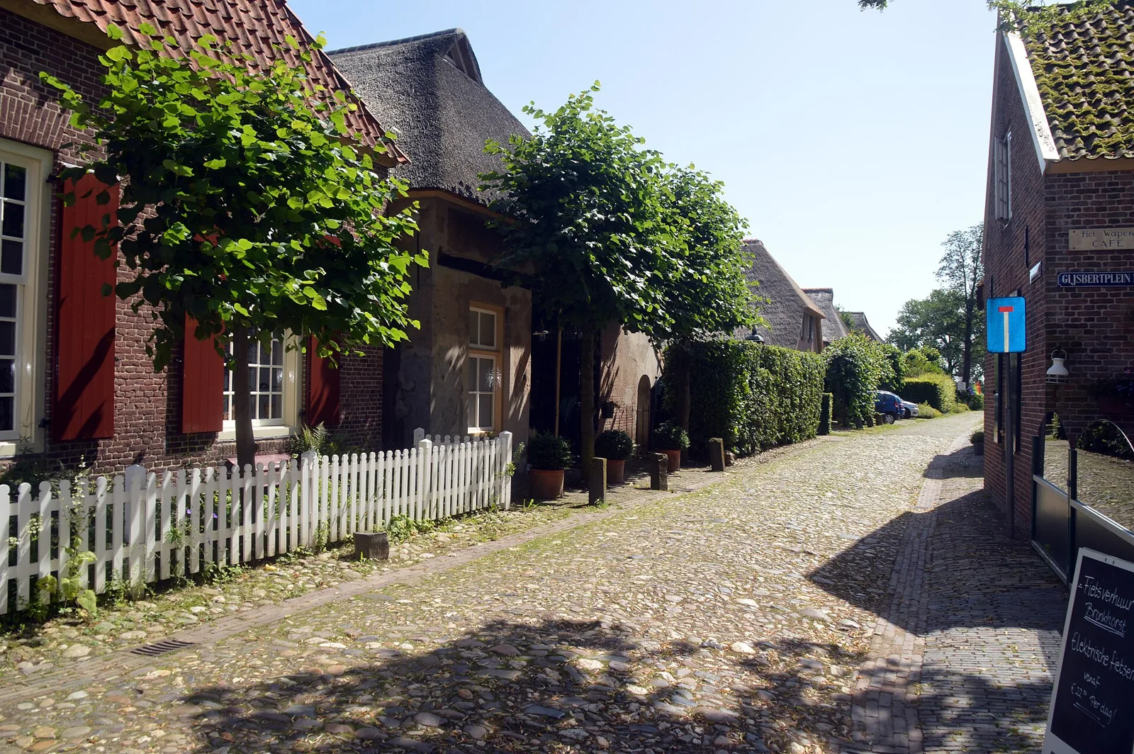
The municipality of Bronckhorst calls Bronkhorst the smallest town in the Netherlands. That nickname is an invitation to look closely, not to treat the town as a miniature museum. People still live and work among the old farmhouses and cobbled lanes. Achterhoek Tourism makes the same point: Bronkhorst is not a museum town, but a place with residents and businesses. Its position near the River IJssel brings its scale into focus. After a short circuit through the streets, open meadows are already close by. The transition from built-up area to countryside is a good reason to walk here in autumn, without assuming that the trees will have changed colour on any particular day.
The town’s history begins with the castle of the Lords of Bronckhorst. According to Achterhoek Tourism, they occupied an important position among the nobility of Gelderland from the twelfth to the sixteenth century. They granted Bronkhorst town rights in 1482. Conflicts and wars later erased the castle, the town walls and the canals. On the castle mound, foundations of the former stronghold remain, alongside a model that helps visitors imagine the vanished building. The mound is therefore a place where a trace, rather than the building itself, tells the story. The modest size of today’s streets conceals the political ambitions once attached to this place.
Protecting the present townscape also has its own history. The municipality lists Bronkhorst as one of three nationally protected village and townscapes in Bronckhorst. Achterhoek Tourism says the town was restored under the supervision of Monumentenzorg in the 1970s. A walk here is therefore not simply a view of an unchanged medieval scene. The visible Bronkhorst consists of historic buildings, later restoration and a living community. The chapel, the cobbled lanes and the houses together convey that layered setting. The photograph of Boterstraat shows one such street view, but it is an older image and says nothing about current weather or the present condition of every building.
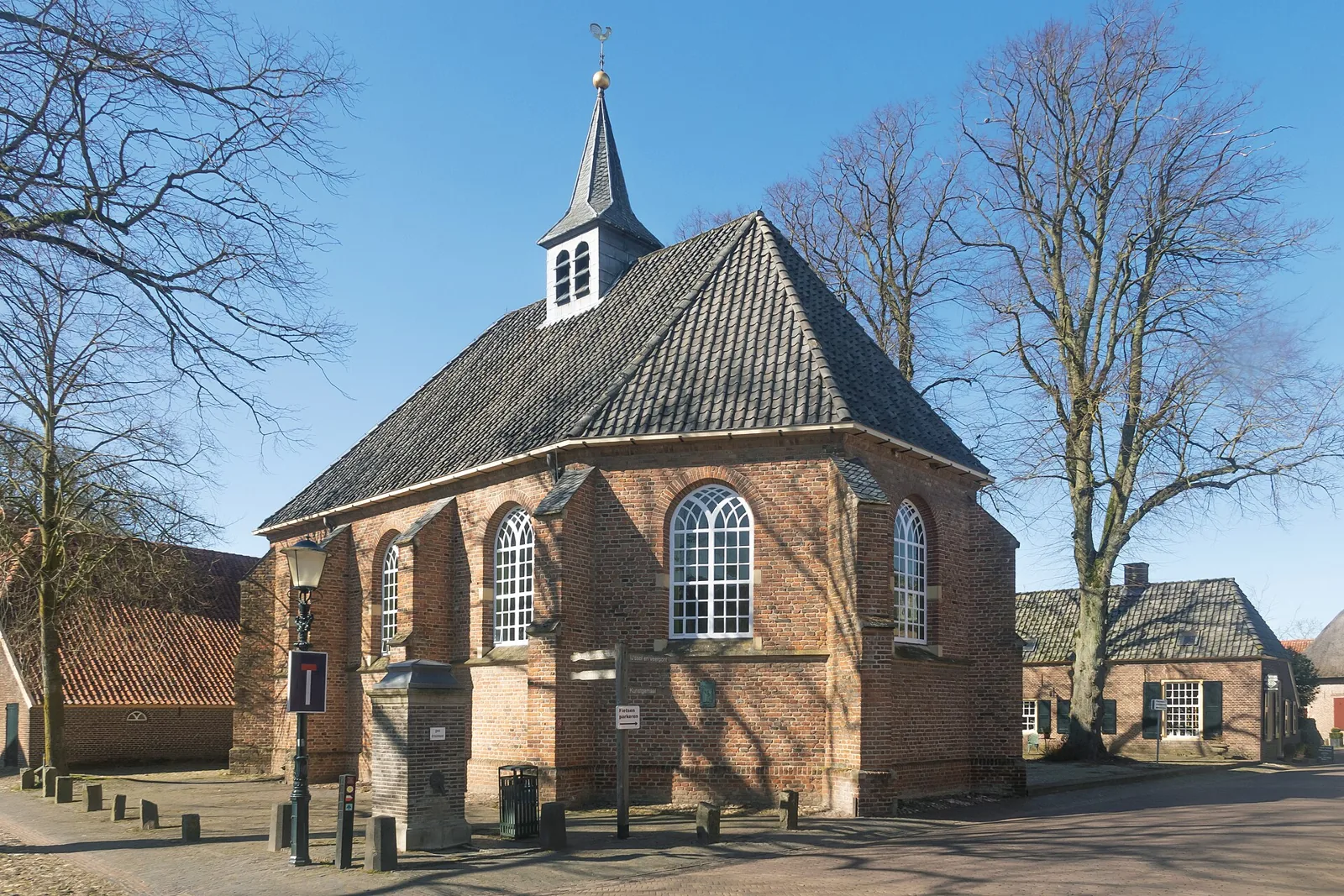
For a short circuit, the marked Bronkhorst Route published by Achterhoek Tourism provides a guide. Its listed length is 2.73 kilometres and its waymarks use blue footprints. It passes the chapel and castle mound and also goes by the art and kitchen pumping station. The chapel is one of the town’s recognisable buildings and appears in the second photograph. The route description mentions exhibitions and activities, but a published season is no guarantee that something will be on during every visit. The venue publishes current information for indoor visits. For an outdoor walk, the route is a useful framework, provided the signs still match the description on site.
With more time, visitors can connect the town to the landscape of the IJssel. Achterhoek Tourism’s Van molen tot molen route is 9.26 kilometres long. It crosses grassland, follows ditches and field edges, and includes a stretch of dike with a view of the river. This is a different kind of visit from a short town walk: unpaved paths and open stretches call for a choice that fits the weather and a person’s mobility. The route organiser also warns that dogs are not allowed on part of the route, so it is unsuitable for a walk with a dog. The current route description and any changes matter more than an older impression of the terrain.
A practical starting point is the tourist transfer point at Onderstraat 9, where Achterhoek Tourism notes a car park on the edge of the built-up area. From there, visitors can see the chapel and castle mound before choosing between the short Bronkhorst Route and a longer walk in the surrounding countryside. The nickname “smallest town” gains substance in this way: Bronkhorst is compact, but the stories of town rights, vanished defences, restoration and life by the IJssel deserve more than a quick photograph. Current information from the relevant sites and route managers remains decisive for opening hours, route changes and access. This article gives historical context, not a guaranteed account of conditions on 17 October.