Landscape & history ·
What the Afsluitdijk changed about the water
Den Oever and Zurich lie at either end of the same water barrier. Between those two places, the relationship between sea and land changed in 1932. But afterwards the Zuiderzee acquired more than one new name.
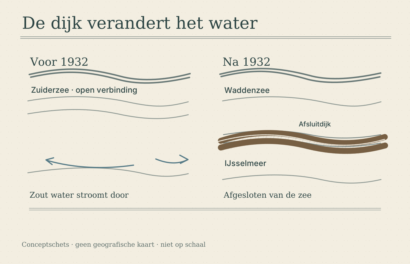
One dyke, two kinds of change
The Afsluitdijk connects North Holland with Friesland over a length of 32 kilometres. For the water, its construction meant a separation: from 1932 the Wadden Sea lay on one side and the enclosed water on the other. On the map you can follow a road. To understand the change in the landscape, you also have to look beyond that road.
Yet the closure tells only part of the story. The former inland sea also partly became land. The Noordoostpolder and Flevoland were reclaimed as polders. Where an old map shows water, a new map may therefore show land. That is a different change from closing off a sea to make a lake.
The old sea does not fit into one new lake
Not only the IJsselmeer but also the Markermeer was part of the Zuiderzee. Today the Houtribdijk lies between those two lakes. Rijkswaterstaat, the Dutch public works and water management agency, names that dyke as the dividing line between them. That is why Zuiderzee and IJsselmeer are not names you can simply swap as you move from past to present.
If you lay an old and a new map side by side at home, you can look for three things: the boundary with the sea, the land that was added and the division of the remaining water. That makes the difference more concrete than a change of name. The coastline and the layout changed too.
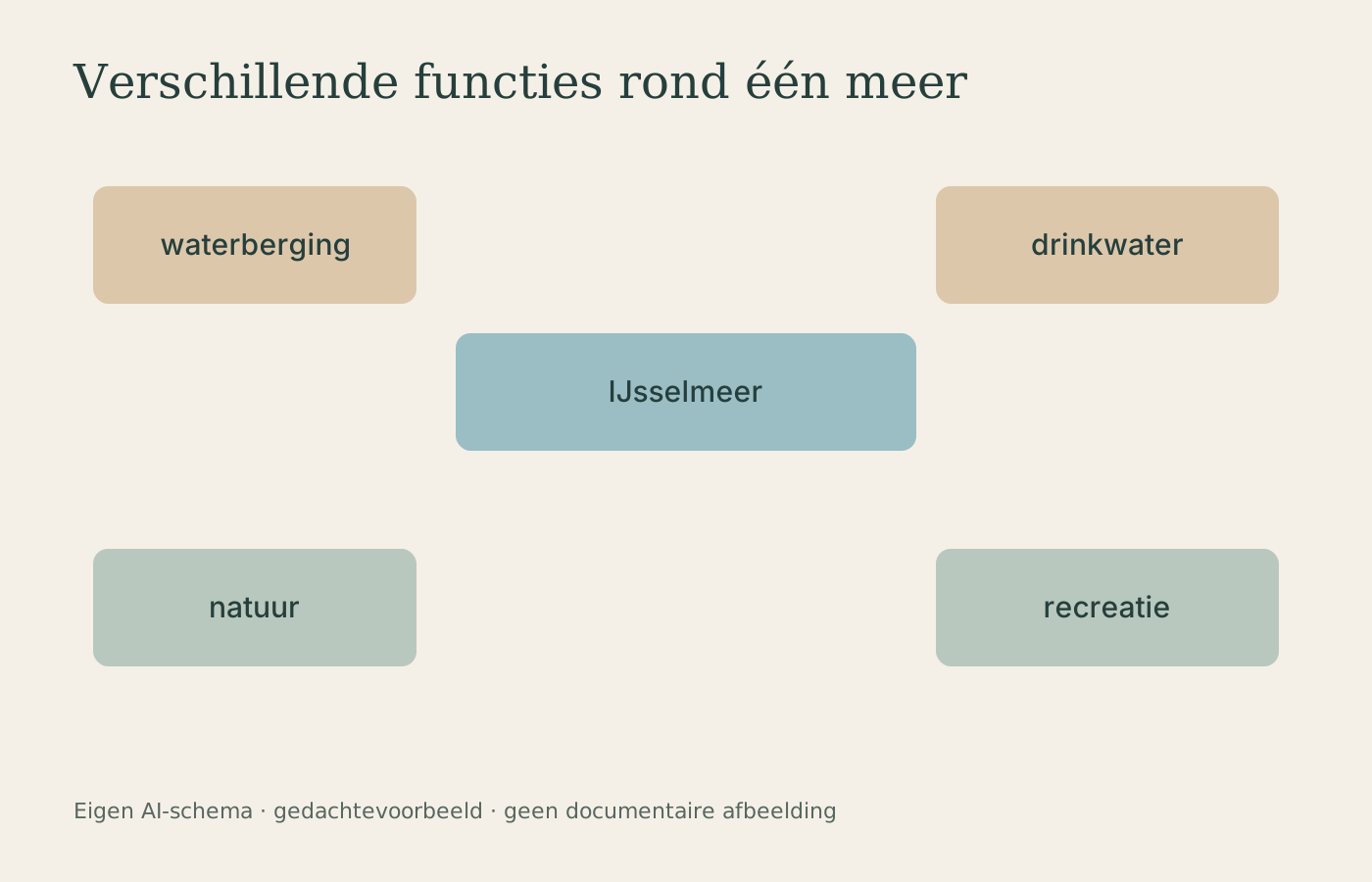
Water that was given different tasks
Today's IJsselmeer is the largest freshwater lake in the Netherlands. In Rijkswaterstaat's description, the IJsselmeer area plays a role in water storage and drinking-water supply, among other things. Recreation and nature use the same space. The water manager therefore has different interests to reconcile.
For someone looking at the map, this raises a new question. Not only: where does the land end? But also: what is the water used for? An old sea name can recall what used to be here. The current map shows how interventions have divided the area into water and land, with tasks that exist side by side.